First Alert Weather In-Depth: Looking for beneficial rainfall

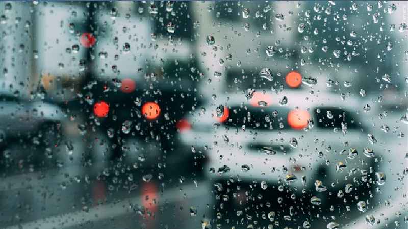
ROCHESTER, N.Y. (WHEC) – We did get some of that beneficial rainfall today. But we are definitely going to need a lot more of the wet weather before it will really make a difference. Why is that?
First, let’s take a look back in time. We need to go all the way back to the beginning of the year. On a month-by-month basis there is just one month when we had above-average precipitation. That was the month of February. In fact, since February we have had four months in a row with below-average precipitation.
If we look back through the beginning of June, essentially the last 42 days, the rainfall deficit is approaching 2.5 inches below normal. And even the last seven days of the rain gauge at the Rochester Airport has measured just .15 of an inch. You probably do not even need these numbers because you can see the deficit outside your door and how dry the grass is getting.
The drought monitor, which is a tool used to see areas of the country near the drought category, shows an abnormally dry scenario for Western New York. We think this area will be expanding if we do not get any substantial rainfall in the near future. This is why we now need to now look forward in time.
The next opportunity of getting some decent rain will not be until next Monday. And that is only for a chance of precipitation. Beyond that point, if we look over the next two weeks, we see the Midwest at below normal precipitation. However, there is the portability for above-normal precipitation south of Rochester for the Mid-Atlantic states. Right now, over the next two weeks, that projection is for normal precipitation for Rochester. That is not enough rain, but it is certainly a start.