New York State releases a map of disadvantaged communities, part of climate justice initiatives
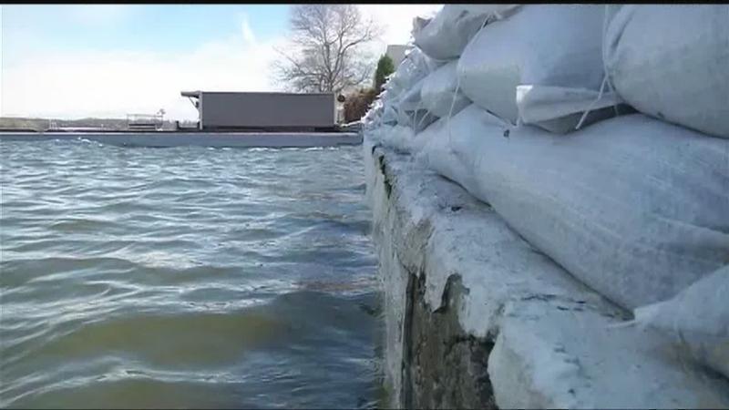
[File photo, News10NBC]
ROCHESTER, N.Y (WHEC) — New York State released an interactive map on Wednesday of the communities most impacted by pollution exposure, climate change threats like flooding, or economic disadvantages. Within the Rochester region, these communities include the city center and parts of Greece along Lake Ontario, showed the map.
The state plans on directing air pollution reduction programs and clean energy investments toward these communities, under New York’s Climate Leadership and Community Protection Act.
The Climate Justice Working Group, which produced the map as a draft, aims to provide the most vulnerable groups with affordable clean energy and to achieve equity in pollution reduction, according to the state’s website. New York plans on targeting at least 35% of its renewable energy investments to economically or environmentally disadvantaged groups.
The 13-member group will hold an informational session on their climate justice initiatives, on the state’s website via Webex, on March 16 at 3 p.m. The meeting will be recorded for the state’s Climate Act website. The public will have an opportunity to comment on the plan before its expected completion by the end of 2022.
State authorities said the new map is important for achieving an equitable path towards having zero carbon emissions in the electricity sector by 2040, as the state plans.
“Advancing climate justice is central to New York’s Climate Act and our efforts to transition all New Yorkers to a cleaner, greener future,” said Basil Seggos, commissioner of the New York Department of Environmental Conservation.
The map comes as the Intergovernmental Panel on Climate Change warns that climate change could exacerbate inequalities worldwide, in a report released Feb. 28. Limiting the average global temperatures to 1.5°C or less above pre-industrial levels could reduce the number of people living in poverty by over 100 million.