First Alert Weather: Saturday spring before winter returns
ROCHESTER, N.Y. — Waking up Saturday to another beautiful start as temperatures are starting off near 50 degrees with plenty of sunshine.
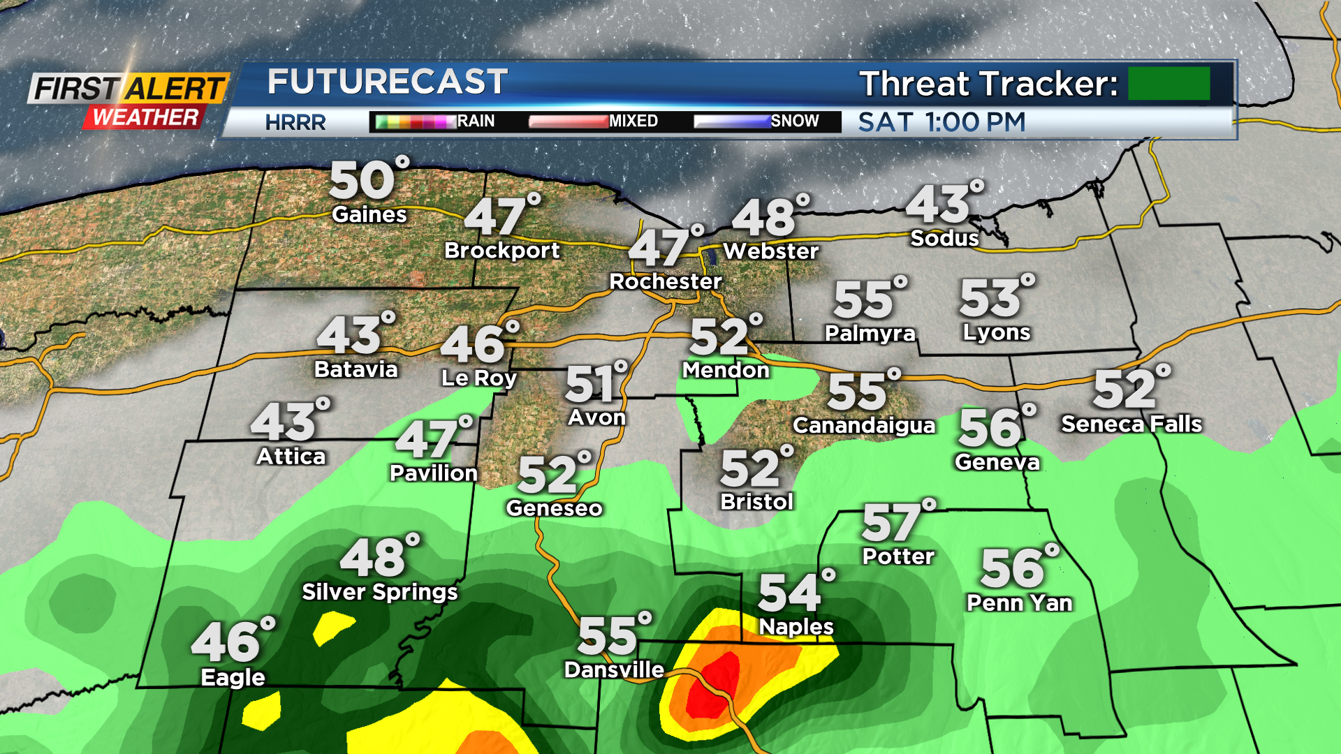
Sunshine and mild weather will continue through most of Saturday before colder weather swings in late. A cold front will slowly approach from the northwest through the day Saturday. This will bring us a chance for a passing shower early Saturday afternoon, and then colder weather behind the front starting Saturday night. A passing shower will be possible early Saturday afternoon, with the best chance for a shower south of the thruway. There will also be a chance for a rumble of thunder!
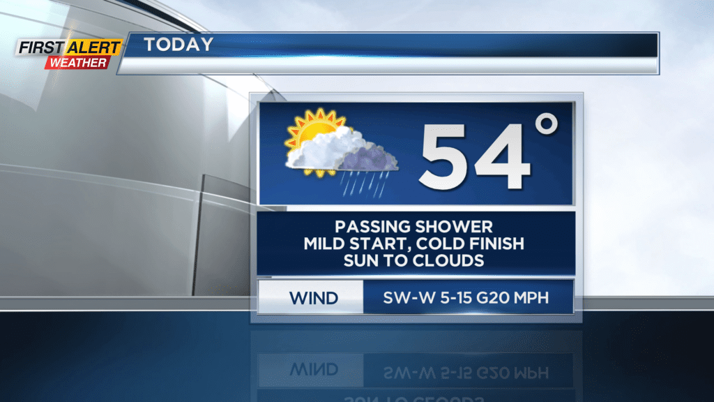

Most of us will remain dry on Saturday with a mixture of sun and clouds. The mild weather will remain through most of today before temperatures drop into the 30s by Saturday night. For Saturday night there will be the chance for a passing rain or snow shower, and we will be breezy with gusts near 20 mph. Saturday will be the last day of mild weather for a whole as colder weather linger though this week.
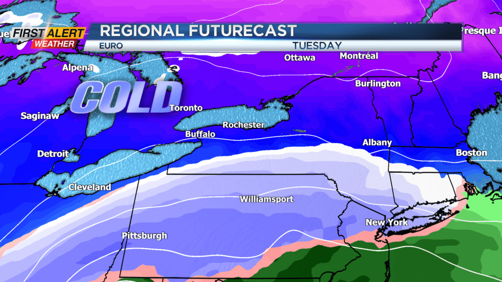
Sunday will feature more clouds and highs near 40. We will remain breezy through much of Sunday, and it will feel like the low 30s for many. The colder weather will linger through much of this week, and there is a chance for some snow on Tuesday. What has looked like a chance for a bigger storm on Tuesday for our region locally, is now looking like another swing and a miss as the snow stays well south.
A few snow showers will be possible Tuesday and Wednesday, but nothing to worry about locally as the heaviest of the snow will remain well south.