First Alert Weather: Wet at times on Sunday
ROCHESTER, N.Y. — A fast moving area of low pressure will bring some rain and even a few storms to the area on Sunday.
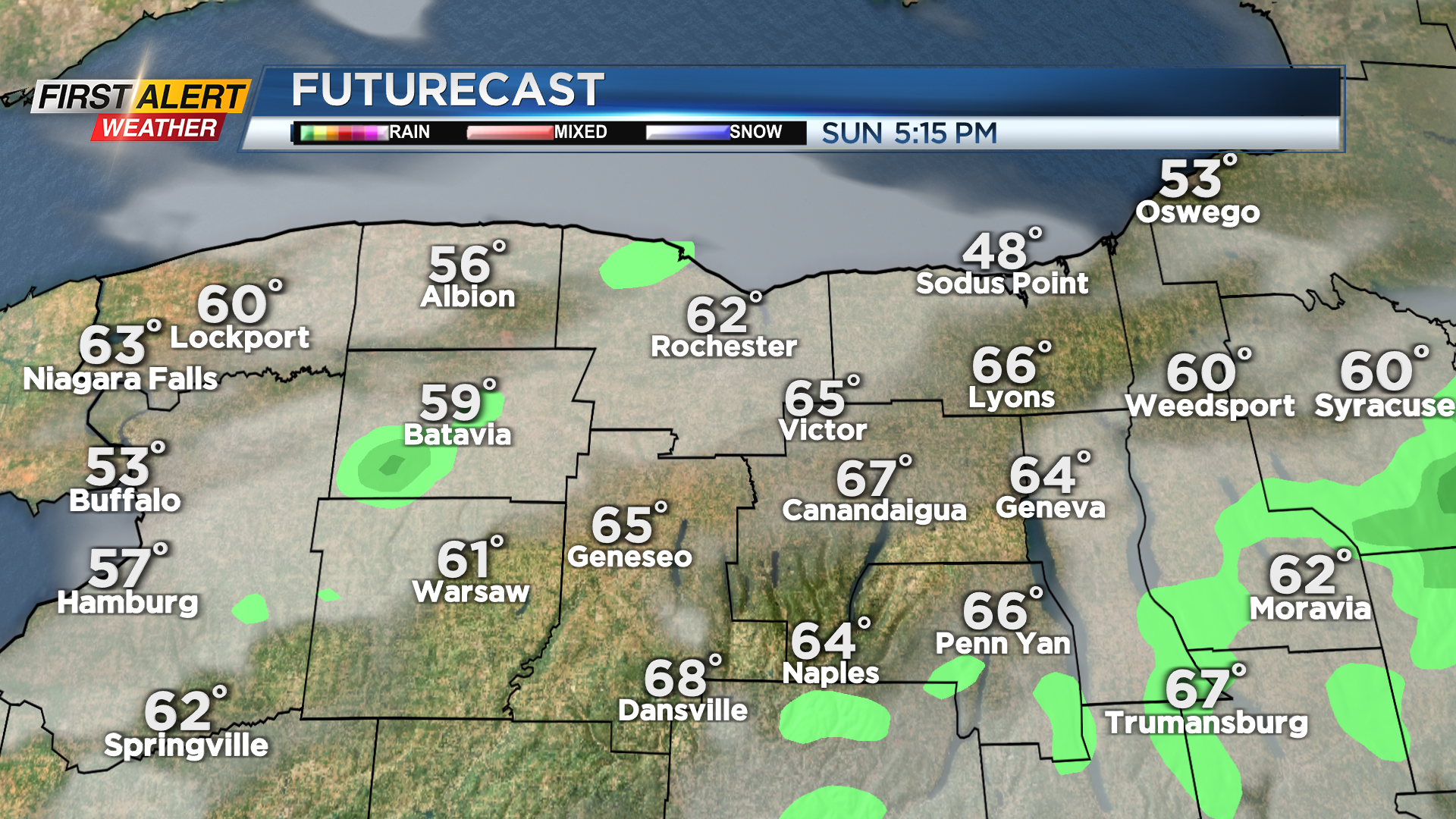
The wettest part of the day will be in the morning, with some rumbles of thunder also possible. The main batch of rain clears, and we may even see some limited breaks of afternoon sun. Then a trailing cold front working through later in the afternoon and evening may set off a few more showers, especially south of Rochester. Some more rumbles of thunder are possible with the cold front south. Meanwhile, our line of showers later in the day will blossom into some stronger storms well south of our area and into Pennsylvania Saturday evening.


We’ll see a clearing sky overnight, and that trend will continue into Monday. That means we’ll see a quiet and nice start to the work week with highs near 60 on Monday with the sky becoming mostly sunny. Tuesday also looks really nice with a mostly sunny sky and temperatures into the 60s. We’ll remain on the mild side for much of this work week, but we’ll see another larger storm system moving in, bringing clouds and some rain starting later Wednesday and continuing through Friday.
A cold front late Friday will set the stage for a cooler weekend next week, with highs likely in the upper 40s to near 50.