First Alert Weather: Unsettled today, and watching strong winds later this week
[anvplayer video=”5149926″ station=”998131″]
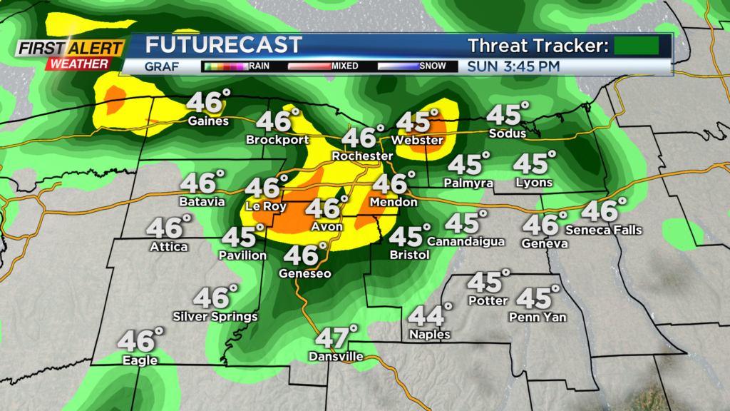
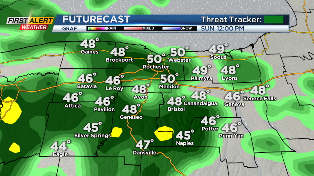
Waking up to a cloudy Sunday this morning, but the rain has held off so far. Rain will begin to move in by late this morning and overtake the region by lunchtime today.
Temperatures are also milder than yesterday but will not budge much this afternoon with highs only in the mid and upper 40s expected. Rain will be the bigger story as it will stick around through the afternoon.
Rain could be heavy at times, limiting visibility on area roadways, but overall no big issues are expected. Scattered showers continue through early tonight before drying out by tomorrow morning. Tomorrow will be a cooler one with highs in the low 40s.
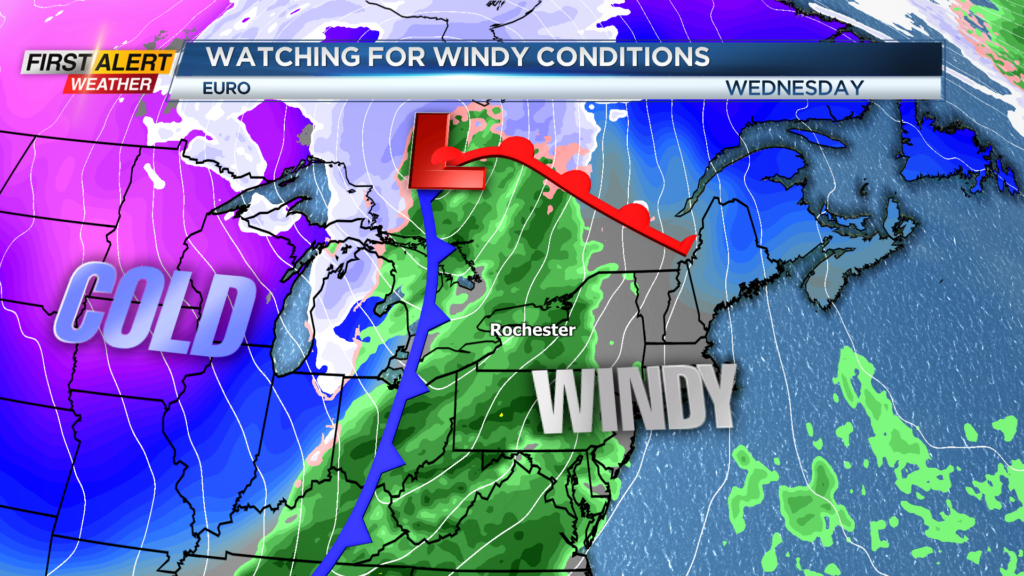
Also, after a cloudy start, some sun will be possible in the afternoon. Skies will continue to clear for Tuesday, but we will be tracking our next opportunity for unsettled weather this Wednesday and Thursday.
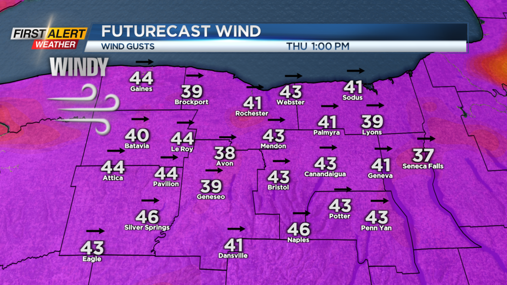
Rain will be likely Wednesday as a strong cold front approaches, but the bigger story will be the chance for strong gusty winds. Wind will begin to pick up late Wednesday and be rather strong on Thursday. There is no alert for Thursday as of yet, but Consensus-based forecasting is showing gusts upwards of 50 m.p.h. Thursday afternoon with much cooler weather and lake effect snow showers.
Heads up if you’re thinking of putting up the loose Christmas decorations or the inflatables as strong winds look likely later this week. We will keep you updated on the chance for strong gusts and if an alert is issued for our region.