First Alert Forecast: A damp start today will give way to a wonderful holiday weekend
[anvplayer video=”5119389″ station=”998131″]
ROCHESTER, N.Y. (WHEC) – Clouds and light sprinkles are expected early on this Saturday morning but the sunshine will return quickly today.
By the mid and late morning hours today, abundant sunshine is expected across our region as our cold front responsible for rain last night continues to move eastward. Dew points have dropped with the passage of a cold front, and they will remain comfortable through today and the holiday weekend.
As far as temperatures, they will be a bit cooler than yesterday with highs around 80 degrees. Through the rest of the holiday weekend, temperatures will be pleasant with highs generally around 80. High pressure kicks in this weekend, which means we will continue to be dry through the afternoon today and through the holiday weekend into the Fourth.
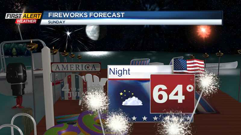
This is great news for outdoor activities this weekend and for firework displays. Towns that have fireworks tomorrow evening will go off without any problems as clear skies and cool temperatures are expected.
As far as Monday night, we remain on the dry side but we are still watching the opportunity for a shower late. As of now conditions will be dry, but a wave of low pressure over the western Great Lakes is what we are watching for the potential for increased cloud cover and a light shower chance as displays end.
______________
Download the WHEC First Alert Weather app to stay up to date while on the go.
Watch the latest full forecast online.