Weather In-Depth: The Alberta Clipper
[anvplayer video=”5072946″ station=”998131″]
ROCHESTER, N.Y. (WHEC) — It’s right around this time of the year that area ski resorts would like to get going. They would like to open up with some snow skiing, but this is going to be difficult to accomplish when you look at some of the snowfall numbers thus far.
Take a look at snowfall at the Rochester Airport. The average amount of snow for the month of November is usually running at 7.5 inches. In addition, you need cold air to make some snow. We have not had that as well. So far this month, the Rochester Airport we have barely measured a half-inch of snow.
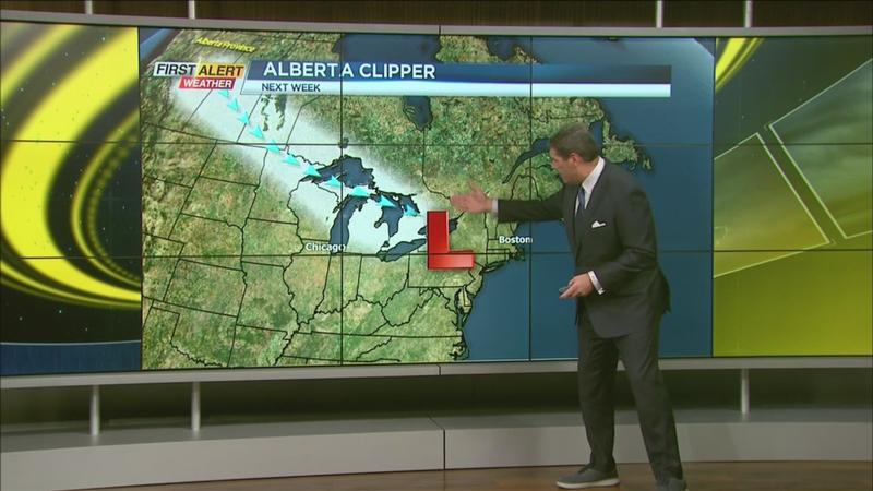
However, we see a weather system that may start to change the scenario. We call it an Alberta Clipper. This system begins up in Alberta, Canada, and will very quickly move right across the U.S.-Canadian border. Sometimes this system can race across the country in a matter of only 48 hours and then cuts across the Great Lakes. This is an interesting little storm and the key is that it has a limited amount of moisture. As a result, widespread snow is usually not a big issue, but quite often they produce a lot of wind and it also brings much colder air behind this weather system.
So you know what happens? This cold air will energize the lake effect. And we think there is a pretty good possibility that we may have several of these Alberta Clippers moving across the Great Lakes as we go through the weekend and into early next week. The European computer model is showing, or at least hinting, that there is going to be some snow as we go through the next to 5 to 7 days now. As a result, there is going to be several of these opportunities for snowfall.
Check it out in our News10NBC First Alert 10 day forecast.