First Alert Forecast: A wintry start to spring
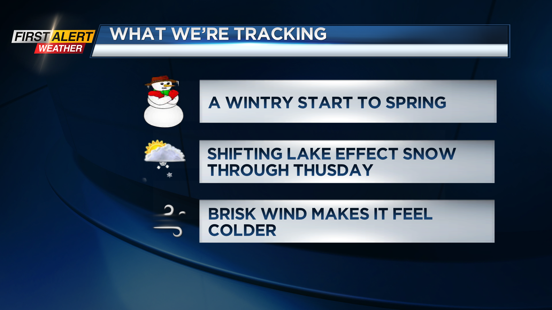
ROCHESTER, N.Y. – Monday certainly had a bite to the air with a busy wind, chilly air and some snow showers at times, and this will be the theme for much of this week. Spring officially arrives Tuesday evening at 11: 06 p.m., but it’ll be feeling like anything but spring! Temperatures all week will hold in the 30s (even lower 30s on Thursday), with a brisk wind making it feel even chillier and some off and on lake effect snow. Most spots will see little in the way of any accumulation, but it’ll be a rough start to spring if you loved the milder air we enjoyed the last few weeks of winter. We’re watching the potential for a coastal system that *could* possibly bring a few inches of snow Friday into Saturday.
After Saturday, we should see a gradual moderating trend in the temperatures, with 40s returning to the forecast into early next week, and 50s by mid-week. This warm up will likely come with some rain by mid to late week next week. So, if we do get any accumulating snow later this week, it won’t last too long.