First Alert Forecast: A wonderful weekend, then wetter weather next week
[anvplayer video=”5128468″ station=”998131″]
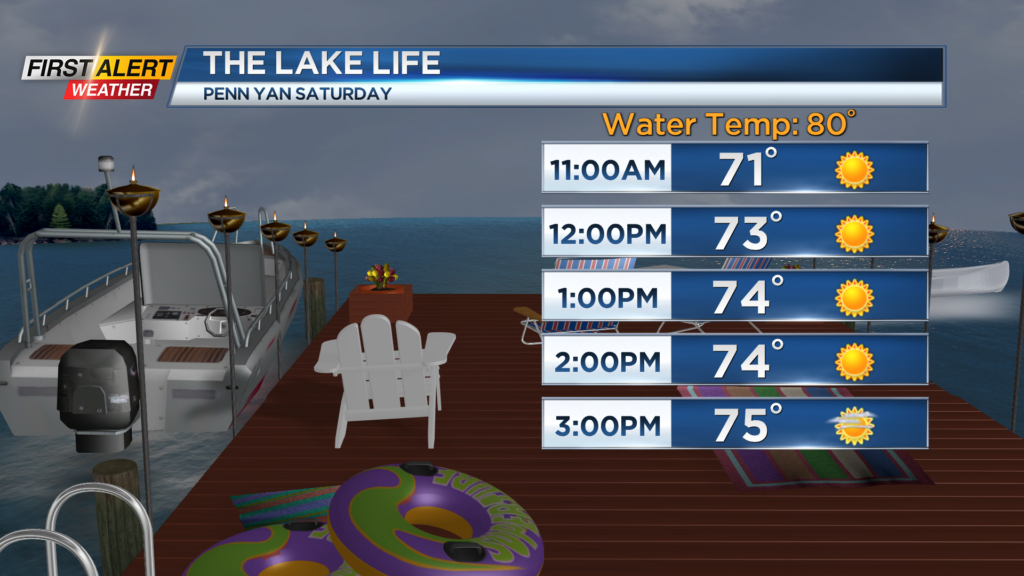
If you don’t have any outdoor plans this weekend, find some! Even if it is just a walk around the block. High pressure drifting over the Great Lakes will keep us dry with a sun-filled sky on Saturday, along with low humidity and comfortable temperatures in the mid and upper 70s. Sunday will see more clouds filling in, but temperatures should still flirt with 80 by the afternoon. There’s the slight chance of an isolated later day shower on Sunday, but we expect the weekend to be dry for most. That will start to change on Monday.
An upper level disturbance will tend to “sit and spin” just off the east coast, helping to throw some moisture back in our direction. With a trough and cooler air overhead, we’ll tend to see diurnally driven showers and some storms, meaning some wet weather popping up during the afternoons. The most unsettled weather may occur on Tuesday and Wednesday, before a slow drying trend on Thursday. At this point, the upper level low should try to move east by Friday, leaving us with a mostly dry end to next week, and warmer air for the upcoming weekend. If you have weather dependent plans next week, keep checking back, as the First Alert Weather team will work to fine tune the timing of our rain.