First Alert Forecast: From one season to another season
[anvplayer video=”5132206″ station=”998131″]
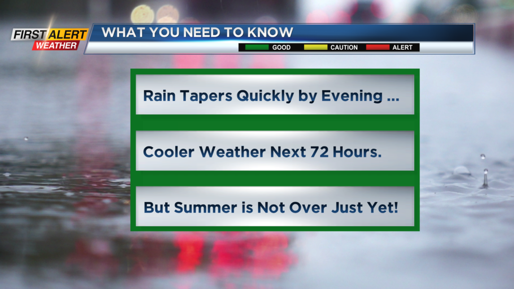
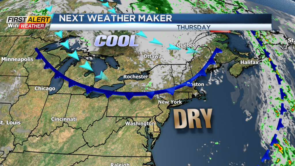
ROCHESTER, N.Y. — After a good soaking rainfall today, the wet weather will slowly taper and end this evening. A cold front will move from west to east across Western New York.
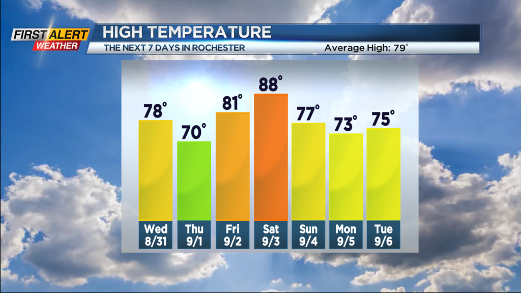
This will usher in some cooler and drier air over the next 72 hours. In fact, there could be a slight hint of fall in the air for Thursday when most of the day will be spent in the 60s. However, the summer season is not finished just yet. It appears a southerly wind will return later Friday and Saturday with unseasonably warm weather returning to the Rochester area by the beginning of the holiday weekend.
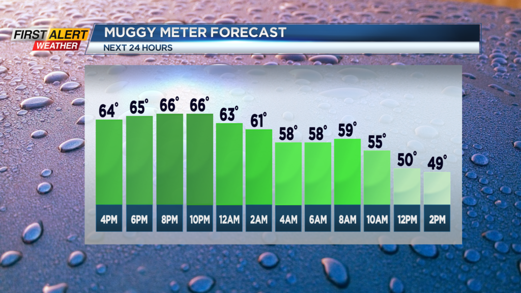
Tonight look for skies to become partly cloudy with just a chance of a spotty shower. The humidity will begin to fall with the low temperature near 60 degrees. Wednesday will bring plenty of morning sunshine then patchy clouds by the afternoon with just the small chance of a shower by the end of the day. It will be back to more comfortable weather with the high temperature in the upper 70s. Thursday is the first day of September and it will feel like it. Look for partly to mostly sunny skies and it will be noticeably cooler with most of the day spent in the 60s and a high temperature near 70 degrees.
But do not close the pool just yet as summer will make a return by Friday and Saturday. Both days should feature more sunshine and pleasant weather with lower humidity. The high temperature will be in the lower 80s on Friday and then pushing into the upper 80s by Saturday.
Stay tuned to News 10 NBC First Alert for any updates on the forecast.