First Alert Forecast: Limited showers over the next 36 hours
[anvplayer video=”5192570″ station=”998131″]
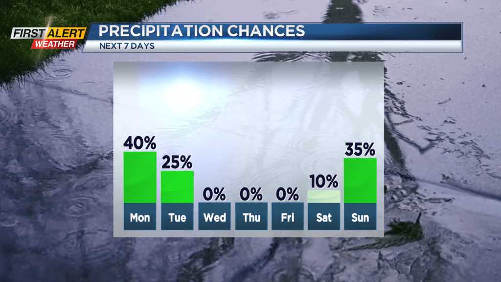
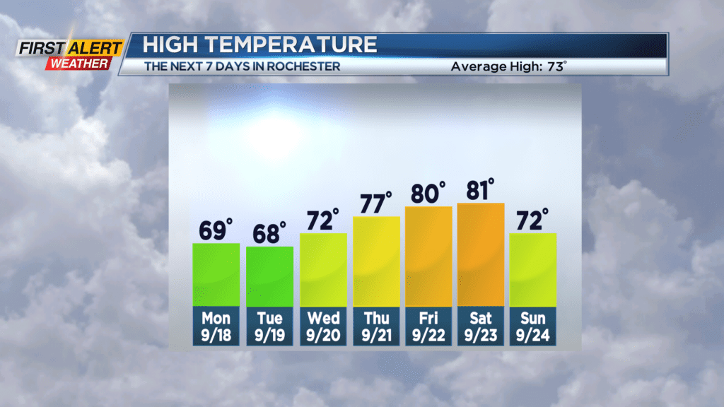
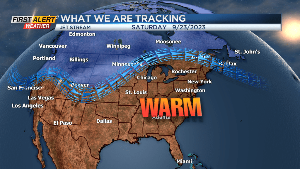
ROCHESTER, N.Y. – So far this weekend most of Western New York has missed out on the showers. The rain on Sunday has been located west of Buffalo and then just south of the Finger Lakes. However, a weak cold front will approach the area for Monday, and this will help produce a few “hit and miss” showers for the Rochester area. This front will also usher in slightly cooler air for Monday and Tuesday. High-pressure will then spread across the great lakes for the middle of the week bringing increasing amounts of sunshine and warmer temperatures.
Sunday night look for mostly cloudy skies with just the small chance of a rain shower developing late this evening. The low temperature will be in the middle 50s. Monday, we expect a changeable day with a mix of clouds and sunshine. In addition, there will be the chance of passing shower and maybe some thunder through the Finger Lakes. It will turn breezy with the high temperature in the upper 60s. More showers are possible Monday night and early Tuesday. Skies should begin to clear by Tuesday afternoon with a high temperature again in the upper 60s. Then look for a nice stretch of pleasant weather with plenty of sunshine for Wednesday, Thursday, Friday, and Saturday. It will turn progressively warmer through the end of the week with temperature readings near 80 by Friday and Saturday. It should feel more like summer for the start of the autumnal equinox (start of the fall season) on Saturday.
Stay tuned to News 10NBC First Alert weather for updates on the forecast.