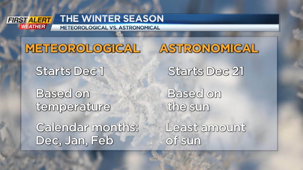
First Alert Weather: A brief break, then more wind on the way
[anvplayer video=”5150706″ station=”998131″]
ROCHESTER, N.Y. It has been a windy few days, with winds gusting 40-50 m.p.h. across much of western New York and the Finger Lakes.
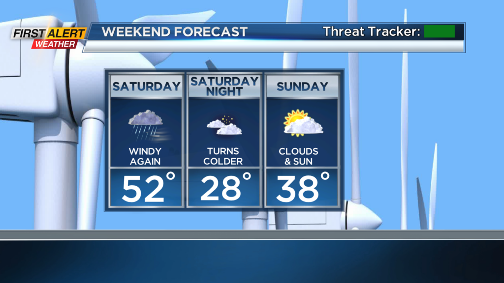
We’ll calm the wind down overnight and much of Friday, with milder air blowing in our of the south Friday afternoon. The break from the wind won’t last long, though. We’ll see a similar setup on Saturday, with a windy and mild morning with some rain showers, followed by much colder air blowing in by the afternoon.
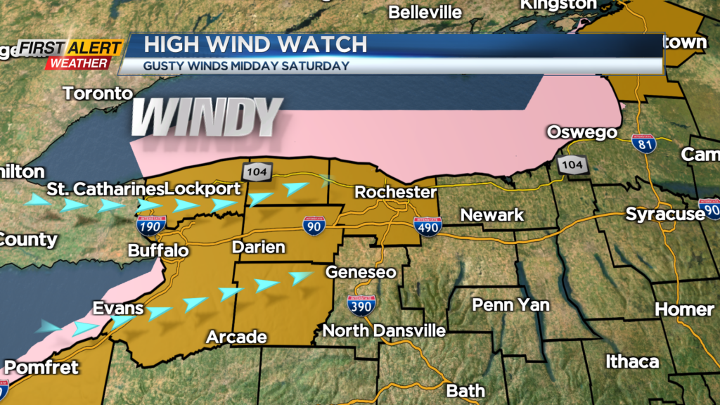
A High Wind Watch is posted for Monroe, Orleans, Genesee and Wyoming Counties, and west toward Buffalo. Winds on Saturday will gust similar to what we have experienced the last few days, but this next event should be much shorter-lived. Winds will peak midday or early afternoon, with a few hours of gusts near 50mph, maybe a few exceeding 50 m.p.h.
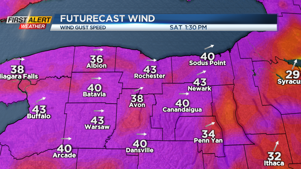
This may be strong enough to bring down some weaker limbs or branches, but much like this last event, scattered or widespread power outages aren’t expected. Winds will also wind down much quieter on Saturday evening.
Sunday will be the calmer and quieter weekend day, with more sun and dry weather. Our next system will arrive by Tuesday of next week with a mix of rain and wet snow showers, but no real accumulation is expected.
We’ll have much colder air pouring in by the middle to end of next week, with high temperatures dipping into the 30s and lows in the lower 20s. So, cold air will be in place, but we don’t see any signs of any widespread accumulating snow at this point.