First Alert Weather: A little snow to welcome in the weekend
[anvplayer video=”5158374″ station=”998131″]
Our wet (not white) January day delivered a little sleet Thursday morning, but mostly a soaking rain, with a quarter to half inch of rain for most of our area.
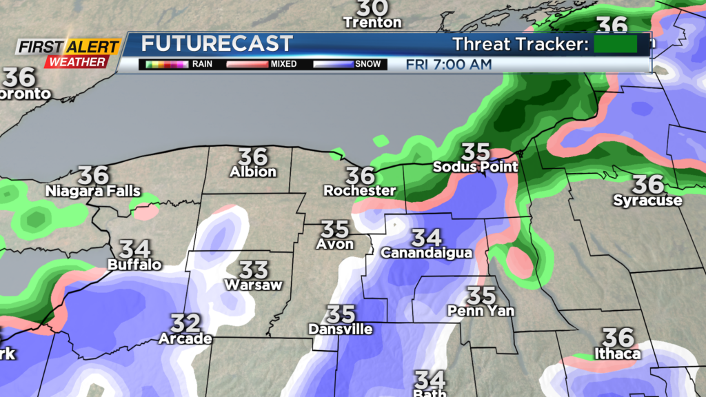
Rain mixes with and changes over to wet snow on Friday, with nothing more than a coating to an inch of accumulation on Friday for most spots, perhaps up to two inches in the hilltops of the Finger Lakes and Southern Tier. Some lake effect snow will continue Friday night into Saturday morning, with little additional accumulation.
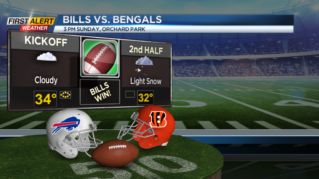
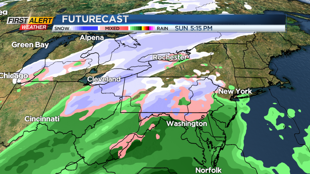
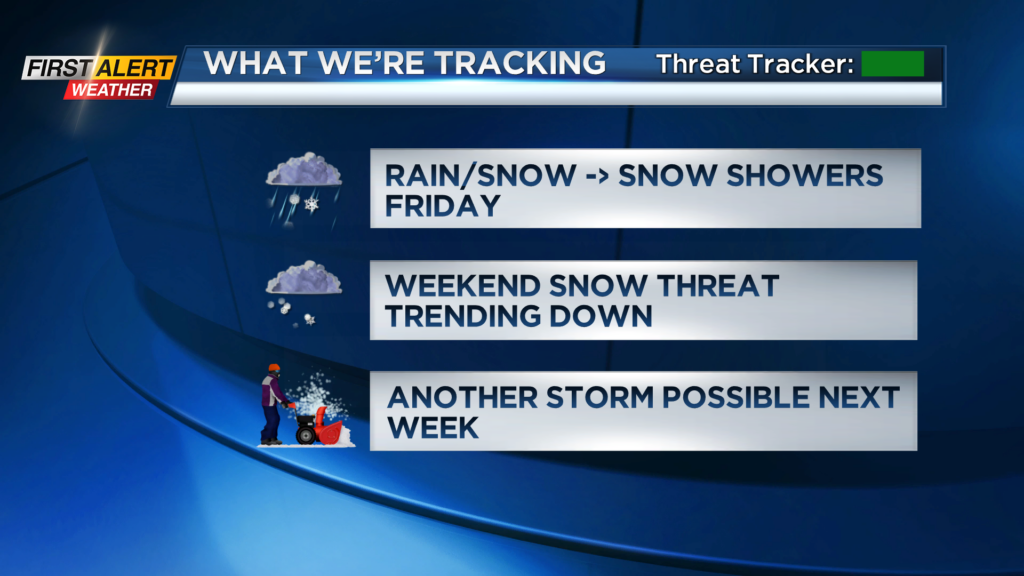
We’re still eyeing a coastal storm Sunday into Monday, but the overall system is trending weaker, meaning less snow for everybody. We still expect some light snow to develop on Sunday, bringing a little of the white stuff Orchard Park for the Bills game on Sunday afternoon.
We’ll see some lingering snow showers into Monday, before shutting down. Overall, expect several inches of accumulation, but not much more. The heavier snow will fall in eastern New York and New England. There’s a chance of another storm to develop by the middle of next week that could bring us another shot at some snow. We’ll see how these next few storms evolve.