First Alert Weather: A mild Christmas, but changes are ahead

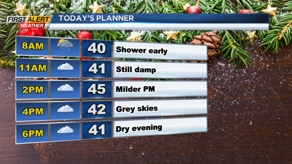
ROCHESTER, N.Y. — Waking up Christmas Eve morning to a mild start, but an unsettled start with light showers and overcast skies.
Temperatures in the afternoon will reach the mid and low 40s, but we will be stuck under cloudy skies. Showers Sunday morning will persist through middle of the morning before drying out by the afternoon. Fog will also pose an issue early Sunday morning as it drops visibility on the roadways, but it will lift by noon. Overall travel should have no issues, besides the early morning fog.
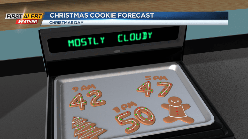
Dry weather continues through Sunday night and into Christmas Day. We are still on track to remain mild as highs Christmas afternoon reach the low 50s. Mostly cloudy skies will be in place, but some sun from time to time will be possible. After a dry Christmas, things turn unsettled as early as Tuesday afternoon. A few showers will be possible Tuesday before rain on Wednesday. Snow is not a threat, but rain will likely be heavy at times Wednesday.
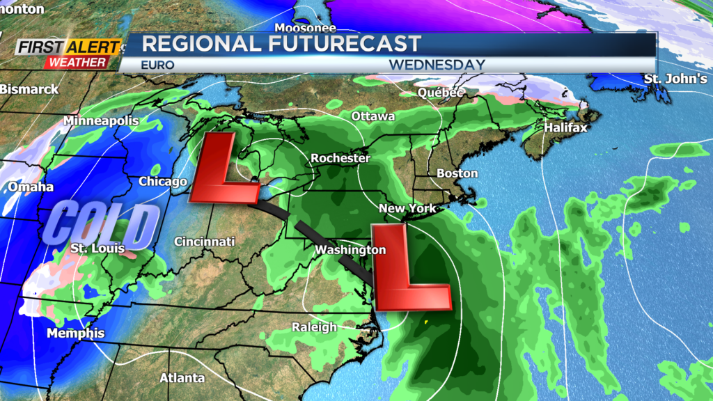
Highs Tuesday and Wednesday remain near 50, but cooler air begins to filter in on Thursday. A few rain and snow showers will be possible, but no accumulation of snow is expected. Cold air continues to wrap in for Friday, and we could see some lake effect snow develop.
A lot of snow is not expected, but some light accumulations could pose an issue on the roadways near the lakes. We will continue to keep you updated as the week progresses.