First-Alert Weather: A period of snow develops on Saturday
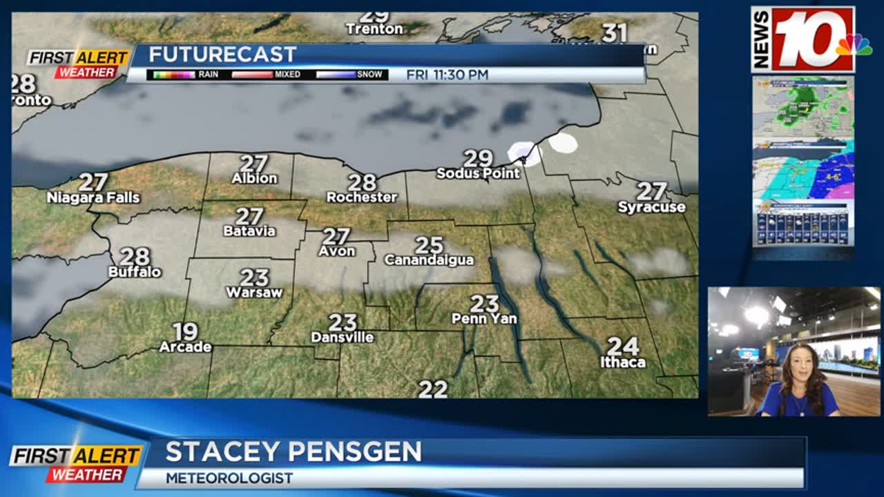
A well advertised Nor’easter is set to impact the Northeast and New England this weekend, while we get clipped by the western edge of it. Saturday starts off dry but cloudy. We’ll see some light snow developing from south to north, anything after 1-2 in the afternoon. Snow will be generally light, with some moderate snow falling for a few hours in the Finger Lakes, tapering to scattered snow showers by midnight. Snowfall amounts will range from an inch or two near Buffalo, to up to 4 inches around Rochester, and possibly pushing 6 inches of snow in the southern and central Finger Lakes. Overall, snowfall amounts will be modest, but roads will become snow-covered, especially during the evening after the sun goes down. A Winter Weather Advisory is up for Wayne, Ontario and Yates counties, where the snow will hang on just a little bit longer. Sunday will see some lingering snow showers, with little additional accumulation.
Looking ahead to next week, Monday should be fairly uneventful with a mostly cloudy sky ahead of our next storm. This will be another impressive one for parts of the country, and bring a plethora of weather to us. We’ll start off with a rain/snow mix on Tuesday, before quickly changing over to all rain as temperatures climb into the 40s. It’ll be quite breezy on Tuesday, with some guests near 40, mainly in the higher terrain. As the low pulls away on Wednesday, temperatures will drop back into the 30s, with some snow showers and a gusty wind once again, this time a chilly gusty wind pushing 40 mph. Expect little accumulating snow at this point with the mid-week storm next week, but our weather pattern remains quite active.
There are some indications that we may see another large storm developing by late next week or weekend. Stay tuned to News10NBC on air and online for updates.