First Alert Weather: A stormy start to the weekend
[anvplayer video=”5186841″ station=”998131″]
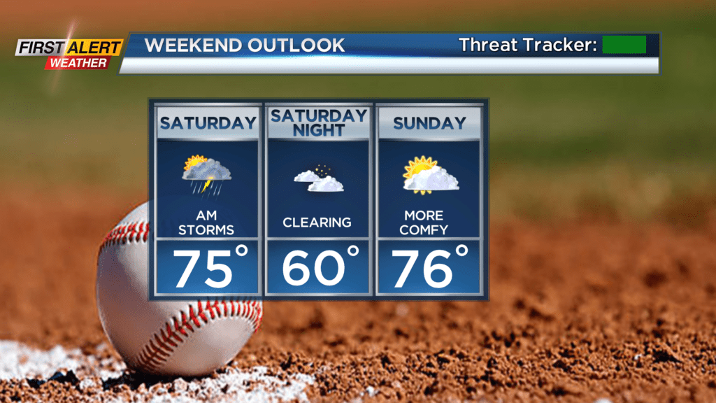
A steamy end to the work week will transition to a stormy start to the weekend. A slow moving cold front will allow showers and thunderstorms to move into western New York by early Saturday morning, and slowly cross the area during the morning hours. Severe weather isn’t expected, but any storm that moves overhead has a good chance of producing heavy rain, and a smaller chance of gusty storms.
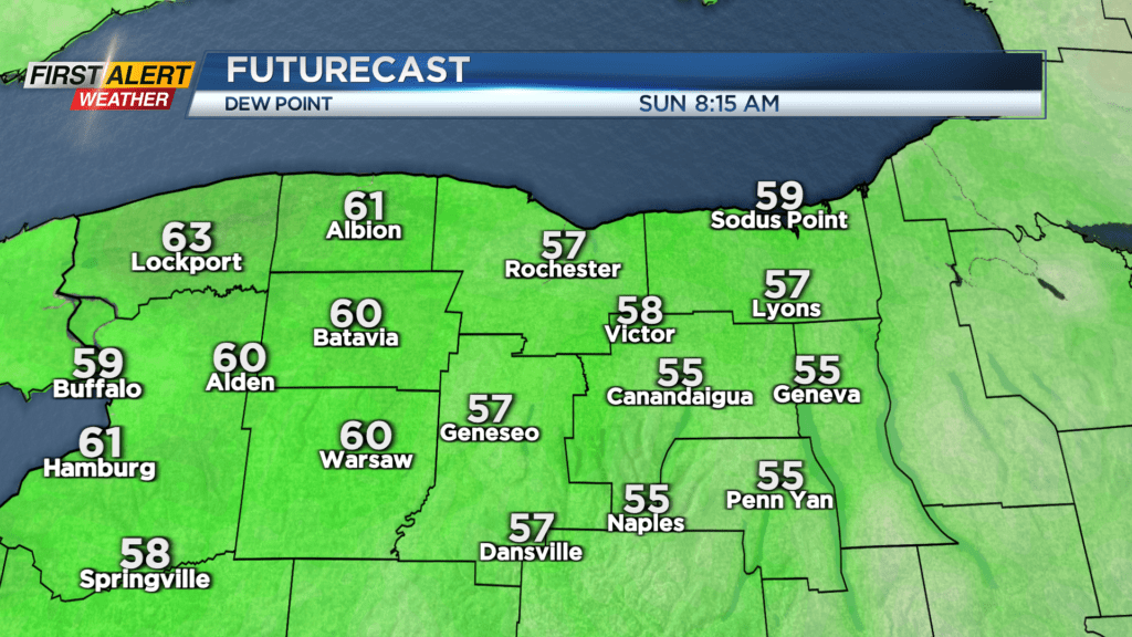
First Alert meteorologist Alex Bielfeld will be tracking the wet and stormy weather on News10NBC Today starting at 6 a.m. Saturday. The afternoon hours will begin to trend drier, but we’ll likely still see a few more showers hanging on. The air will begin to dry out later in the evening, with some sun returning and humidity dropping off. This will set the stage for a much nicer looking and feeling weather day on Sunday, with highs in the 70s, dew points in the 50s and a mix of clouds and sun. While a stray shower is possible, the bulk of Sunday should be dry.
A pattern change setting up next week will keep our temperatures a little cooler than normal, with highs in the 70s, and more comfortable humidity levels. While we’ll see a few pop up showers next week, our next real chance of widespread rain won’t come until late Thursday or Friday with an area of low pressure and cold front.