First Alert Weather: A windy and wet start to the weekend

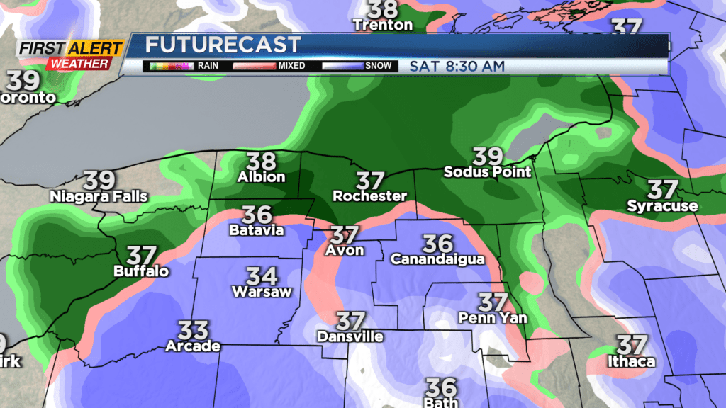
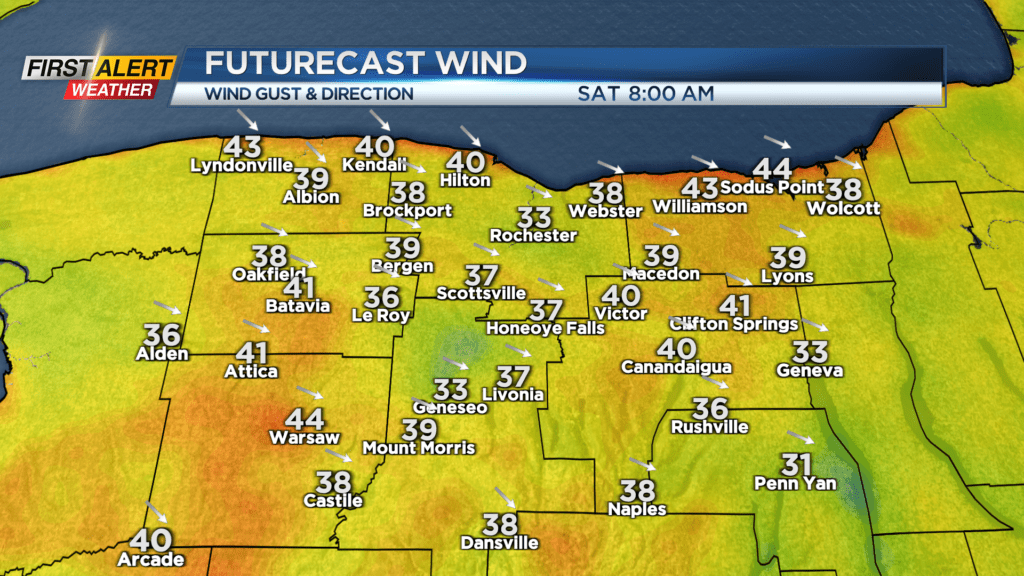
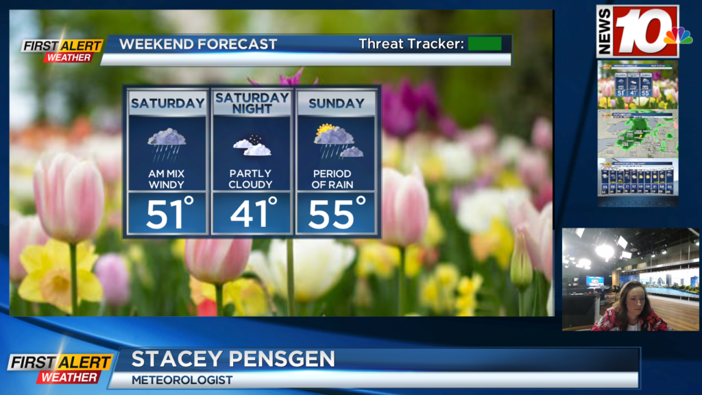
Wind Advisories remain in place through 2 p.m. Saturday for much of the area, with some gusts pushing 40-45 mph. As we saw on Friday, wind of this magnitude likely won’t produce much more than a few sporadic power outages, but it’ll certainly be a noticeable and annoying wind. Rain showers, also picking back up, will mix with some wet snow after midnight. Expect no accumulation, with the exception of the high terrain south of Rochester, where an inch or two of slop may accumulate by morning.
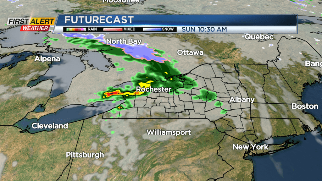
Saturday starts off windy with that rain/snow mix, but we’ll see the precipitation tapering off as the low pulls away from us. This will allow some breaks of sun to return, and a gradual easing of the wind into the afternoon hours. Sunday starts off dry, but a fast-moving disturbance will bring a few hours of showers or even some thunder midday into the afternoon, before moving away.
We’ll see a nice drying and warming trend into the beginning of next week, with more sun and dry weather on Monday and Tuesday, along with temperatures climbing back into the 60s. We’ll flirt with 70 by Wednesday, but it’ll come with more clouds and some rain showers.