First Alert Weather: Another wild week of weather with warmth, thunder, wind and some snow
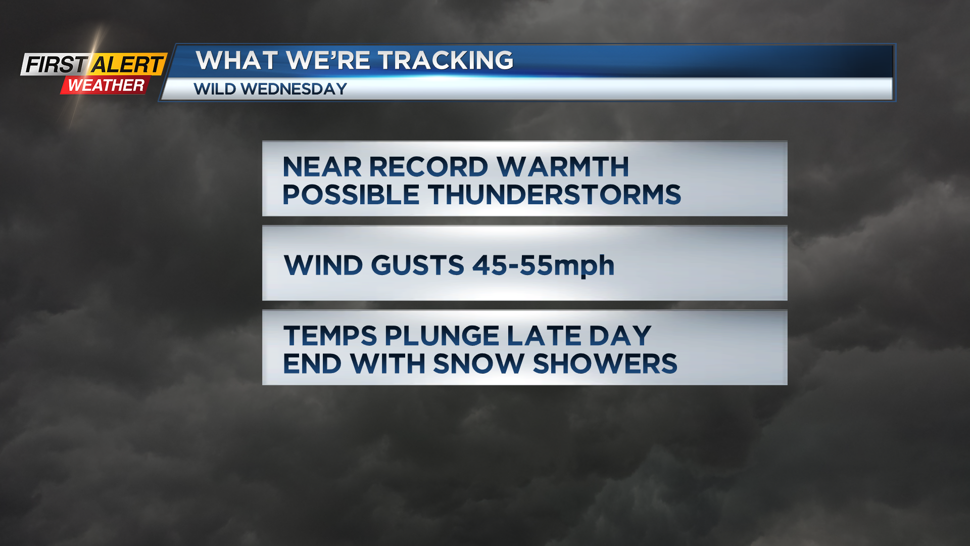
ROCHESTER, N.Y. – Buckle up! We’re in for another wild ride of weather this week, starting with near record warmth. Both Tuesday and Wednesday will surge into the lower and mid 60s. Tuesday will feature a southerly breeze and a few afternoon showers passing by. We’ll see a better chance for some thunder overnight and into early Wednesday. Then we get a break from the wet weather, at least long enough to push us back into to the mid 60s briefly midday Wednesday. Another strong cold front comes sweeping through with a sharp temperature drop from the 60s into the 20s from early afternoon through late evening. Winds will also pick up as this front passes through. We could get some gusts pushing 40-50 mph, which may be strong enough for a few isolated outages, but nothing widespread. We’ll also see a line of showers and possible storms with this front. Again, severe weather isn’t expected, but this line of showers could mix down some brief wind gusts. A flash freeze is possible by late Wednesday evening, followed by limited lake effect snow Wednesday night into Thursday morning. Thursday will be a more typically cold February day in the lower 30s, but that chill won’t last.
We begin our next warm up on Friday, with temperatures back into the lower 50s, with 60s back in the forecast by late weekend and into early next week.