First Alert Weather: Back to winter this weekend with lake effect snow
ROCHESTER, N.Y. — Last Saturday at this time we were in the 50s, but this Saturday we are in the 20s with lake effect snow.
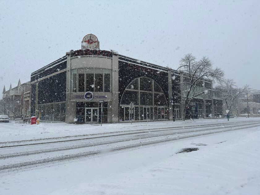
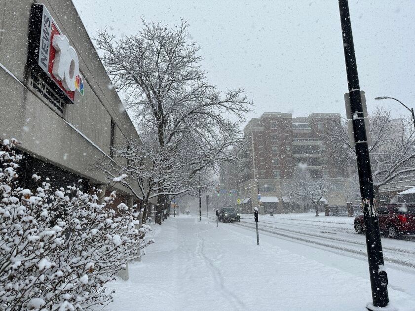
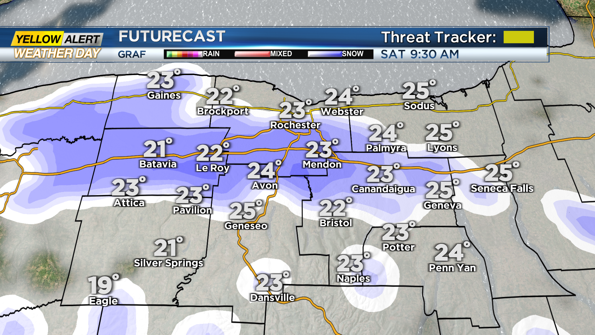
We are waking up this Saturday to a snowy start as we have snow covered roads and ongoing lake effect snow. With that, the First Alert Weather Team has issued a Yellow Alert for Saturday. This is mainly for the morning hours as we will see a transition from widespread lake-effect snow to more isolated snow showers Saturday afternoon.
Lake effect snow Saturday morning will be heavy at times, limiting visibility and creating slick roads. Winter Weather Advisories have been posted for parts of our viewing area with Monroe County under one until 4 p.m. Saturday, Wayne County until 10 p.m. Saturday night, then Orleans & Genesee Counties until 1 p.m. Sunday. Lake effect snow shower will continue into Sunday with lake effect snow coming off Lake Erie. Winds Saturday night will switch form the northwest to southwest and kick in the lake effect snow off Lake Erie late. Lake Erie snow continues for areas west of Rochester through most of Sunday morning.

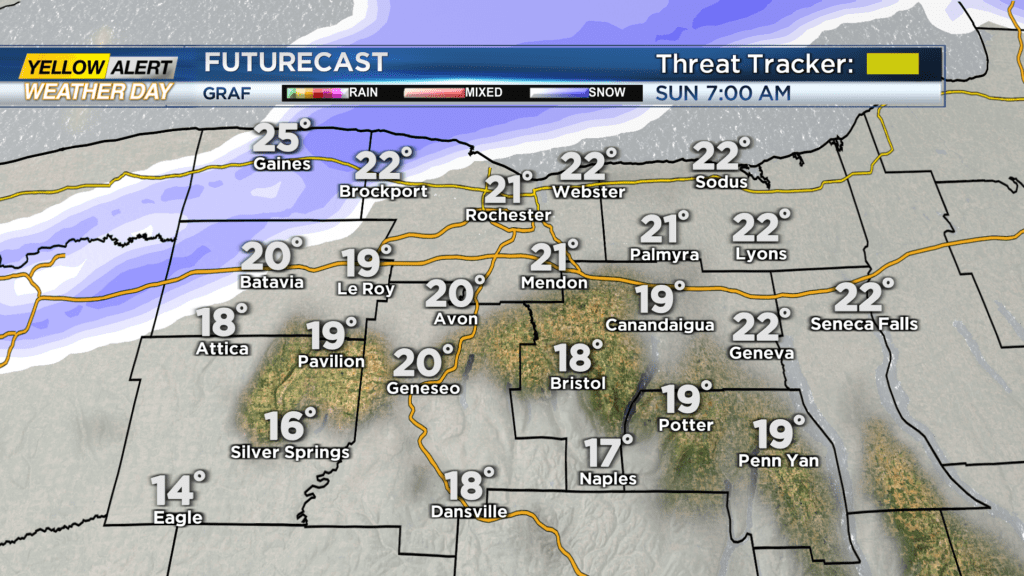
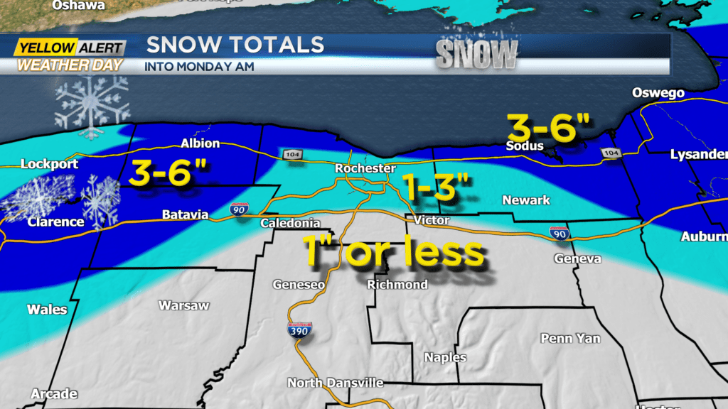
The threat tracker will go back to green on Sunday as most of our viewing area will not see impacts from the Lake Erie band. The Lake Erie band will break apart during the afternoon hours on Sunday as winds switch back to the northwest and snow showers kick in off Lake Ontario through Sunday night before dissipating Monday morning. When things are all said and done Monday morning, a general one to three additional inches is expected for most of the region with areas west and east of Rochester seeing anywhere between three and six inches of snow.