First Alert Weather: Brighter days ahead
[anvplayer video=”5151644″ station=”998131″]
ROCHESTER, N.Y. It’s been a damp and dreary few days across the Rochester region, with low clouds, drizzle and some flurries continuing into Thursday, as our air grows a little cooler.
We won’t see any accumulation, and surface temperatures remain above freezing, so we won’t see any issues on roads. We’ve been promising some improvement in the sky, and we should see some brightening and more blue by Friday afternoon.
This will continue the first half of the weekend, with a good amount of sun on Saturday, but that is where it ends. A quick-moving wave of low pressure will spread a mix of rain and some wet snow into the region on Sunday.
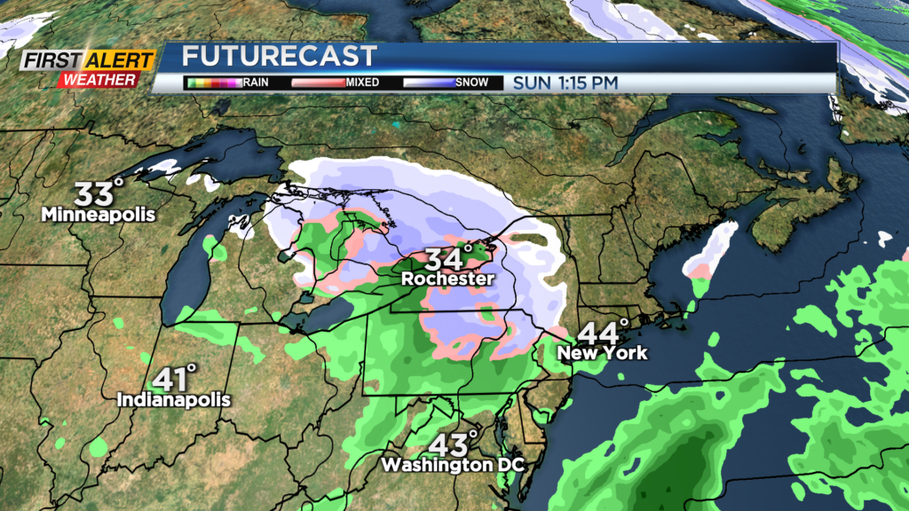
Most will see nothing more than a slushy coating on grassy surfaces, but the higher terrain of the Finger Lakes and Southern Tier may pick up on a few inches of wet snow through the day Sunday. All in all, this shouldn’t create any issues and may actually lead to a festive-feeling day for anybody picking out Christmas trees on Sunday.
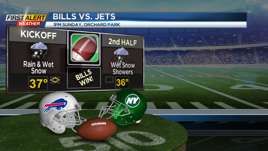
If you’re heading to the Bills game in Orchard Park on Sunday, plan for typical December football weather, with temperatures in the mid-30s and mixed precipitation before and during the game. We’ll start the new work week with some leftover snow showers Monday morning, followed by dry weather Tuesday and Wednesday.
We’re still tracking a potentially stronger storm system for the end of next week, which may bring a wintry mix followed by perhaps some accumulating snow. This is still more than a week away, so we’re monitoring the trends and will of course update the forecast accordingly. Stay tuned!