First Alert Weather: Chill gives way to more warmth
ROCHESTER, N.Y. — It has been almost eight months since Rochester measured a temperature in the middle 20s.
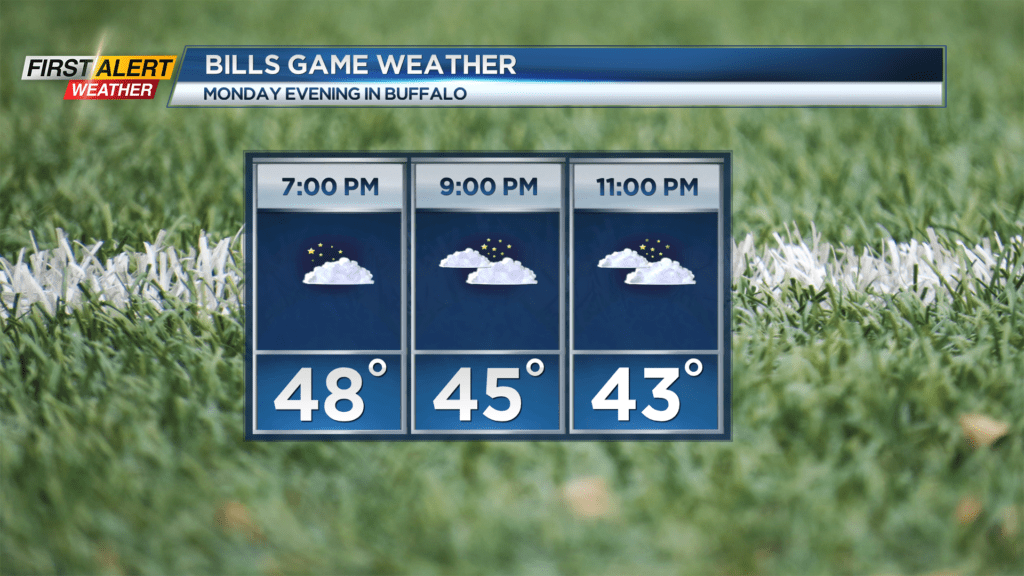
But early Monday morning, Western New York recorded a low of 26 degrees and this was coldest temperature so far this season. It appears another weak cold front will cross the area Monday evening and this will serve to push some chilly temperatures back into the area for Tuesday. However, this brisk weather will be short-lived.
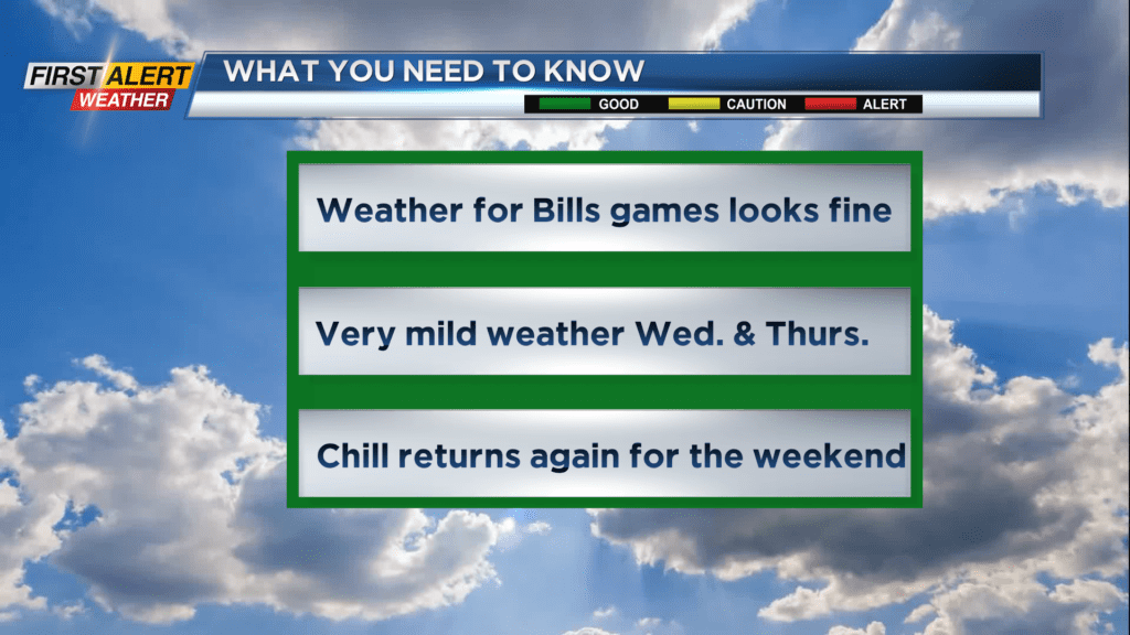
The wind direction will turn more from the southwest on Wednesday and Thursday. And with plenty of sunshine, this promises to be the best weather of the week.
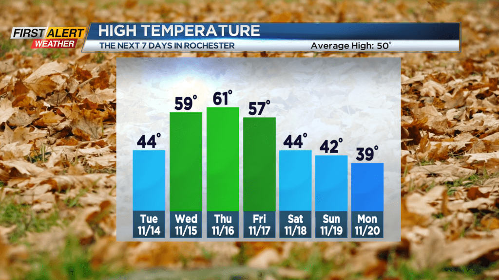
Monday night, look for mostly cloudy skies with the chance of a few Lake Ontario rain showers especially during the evening. It will not be as cold as Sunday night with the low near 39 degrees. Tuesday clouds will give way to the a few breaks of sunshine.
It will turn breezy with the temperature only reaching the middle 40s. However, by Wednesday and Thursday you will want to take advantage of increasing amounts of sunshine and warmer weather. Both days will be unseasonably warm with the temperature near 60 degrees. Another cold front arrives later Friday, and that means rain showers will develop through the afternoon. The temperature will start in the upper 50s but then drops later in the afternoon.
Another shot of colder weather arrives this weekend with maybe a hint of early winter weather. Both Saturday and Sunday will bring a gusty wind, chilly temperatures and passing flurries or a wet snow shower.
Stay tuned to News 10NBC First Alert Weather for updates on the forecast.