First Alert Weather: Chillier air and mixed showers Wednesday
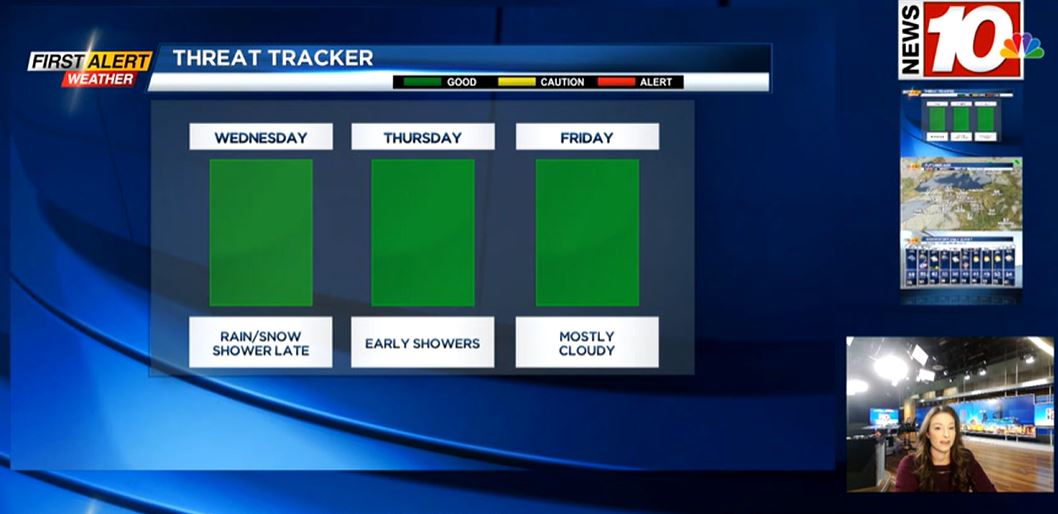
Our wind eases tonight, but it’ll continue to blow in chillier air for Wednesday. We’ll start the day with at least a little sun, but temperatures at or below freezing away from Lake Ontario. We’ll hold in the 30s much of the day, with clouds returning, and some rain mixed with wet snow by late afternoon. While this will likely be falling during the evening commute, surface temperatures will remain above freezing, so slick roads aren’t expected. We will see wet roads, though.
Temperatures actually begin to rise overnight into the 40s, so any wet snow showers will change over to plain old rain overnight and into early Thursday. Rain ends Thursday morning and we’ll actually be looking at a stretch of cool, but quiet and mostly dry weather right into the weekend.
Our only chance of rain this weekend will come from a few stray lake rain showers, mainly Saturday. Otherwise we should see some sun, and while temperatures will be a little cool in the 40s, we should see a nice weekend. Our dry weather also continues into much of next week. Meanwhile, temperatures will begin to moderate back into the 50s again. No signs of any real winter weather or accumulating snow in our near future.