First Alert Weather: Cold and snowy at times into the weekend
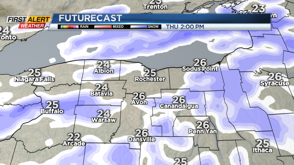
ROCHESTER, N.Y. — Expect cloudy and cold conditions on Thursday with snow showers on the increase in the morning into the afternoon with a coating to an inch expected.
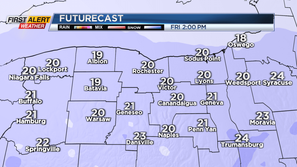
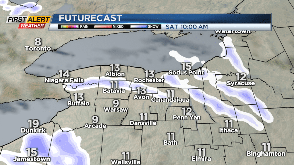
Amounts may be a little higher west of Rochester. A weak system will move through the region Friday with a general 1-3 inches of snow during the day. Following that, a low pressure center of frigid flow from the north will develop Friday night into Saturday. That colder air will bring some local snows off of Lake Ontario with several inches possible north of the Thruway to start the weekend.
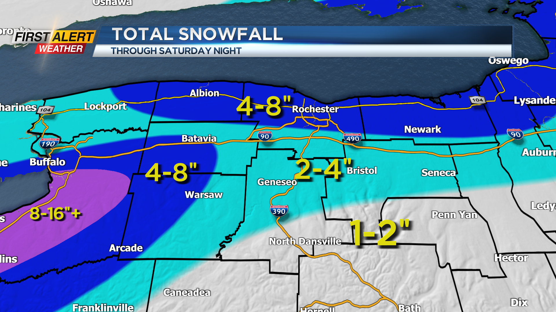
When you add it all up we may see 4-8 inches of snow the next couple of days for much of Rochester and along Route 104 with lesser amounts to the south. Even though the snow will pile up in time we are not anticipating any significant impacts for travel so Threat Tracker is green.
Milder weather arrives next week. Stay tuned to News10NBC for the latest updates on the timing and amounts of snow headed our way through the weekend.