First Alert Weather: Cool weekend before a touch of unsettled conditions
[anvplayer video=”5128483″ station=”998131″]
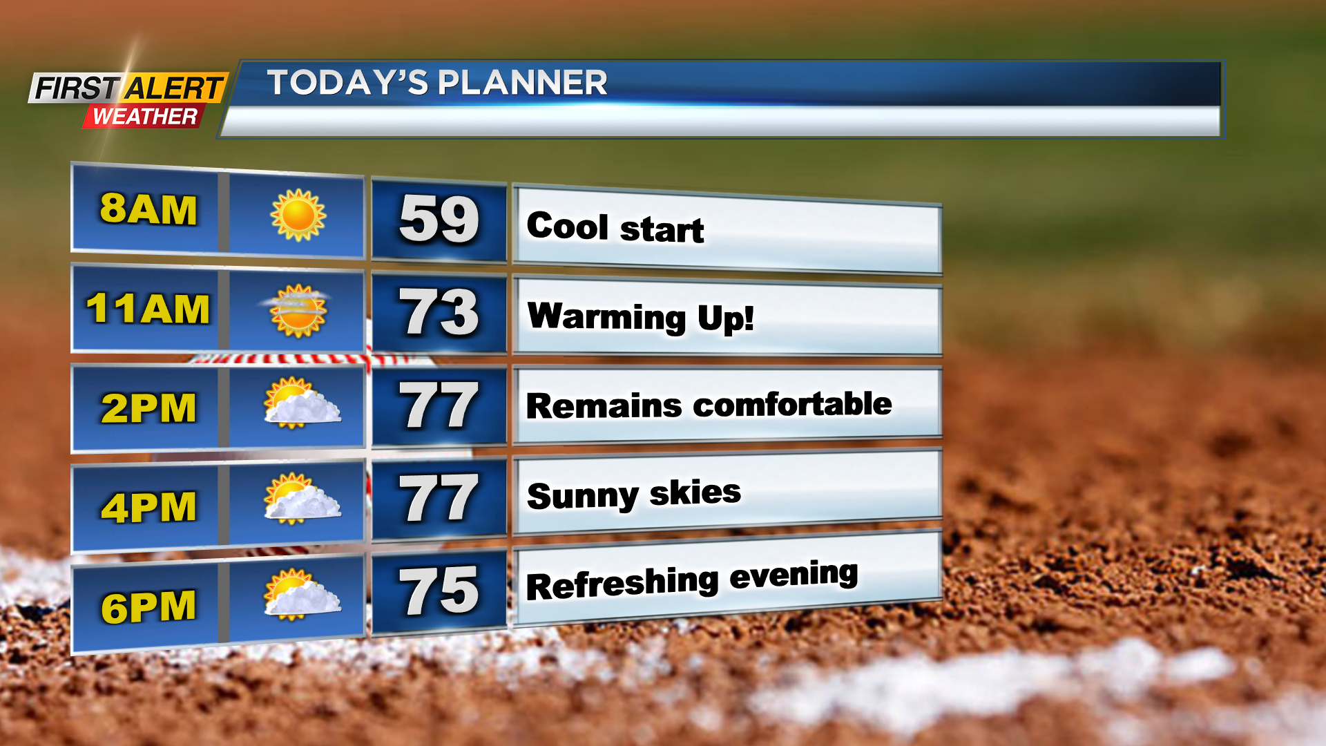
ROCHESTER, N.Y. (WHEC) — Another cool and comfortable start on Saturday morning with temperatures in the low 50s and clear skies.
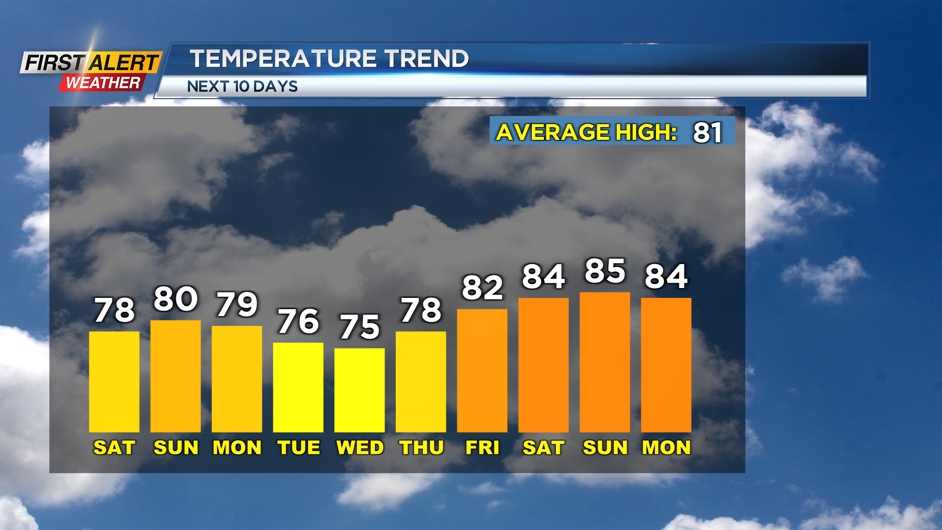
Once again, the temperatures will remain on the cool side with comfortable conditions continuing. Mostly sunny skies are expected in the afternoon. After a cool start, we will see afternoon highs in the mid and upper 70s.
Clear skies and cool weather continues throughout Saturday and into Sunday, but clouds will begin to increase Sunday afternoon.
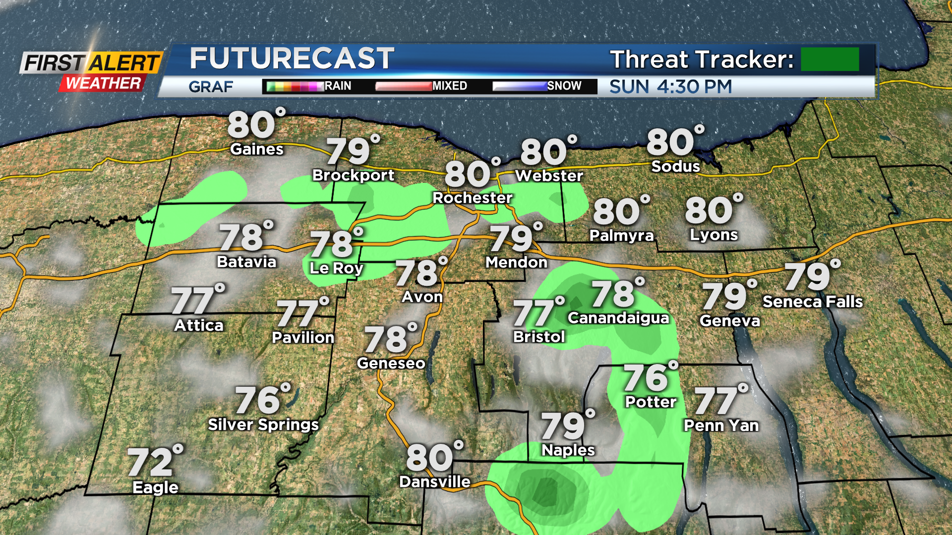
A few clouds on Sunday afternoon could give way to a spotty or stray sprinkle but most will be dry. Afternoon high temperatures will make their way near 80 degrees, but will remain comfortable.
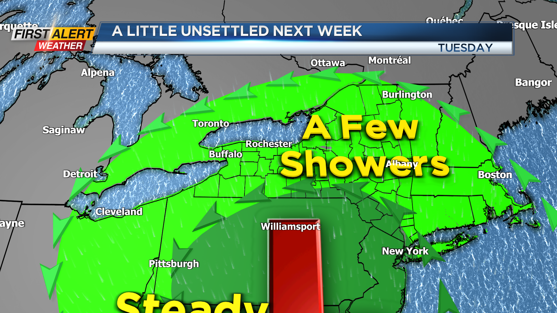
After a pleasant weekend, we will begin to turn a bit unsettled to start off the week and a touch of humidity. An area of low pressure will track through the Ohio River Valley and along the East Coast through Thursday.
Another cool and comfortable start on Saturday morning with temperatures in the low 50s and clear skies.
This will bring us a few isolated rain showers Monday through Thursday, with the best chance for a few showers on Wednesday. As of now, no widespread heavy rain is expected, but a few isolated showers under mostly cloudy skies are on the way.
Temperatures will remain on the cool side with highs in the mid 70s, but with the moisture in place we will see the dew points creep up into the low 60s. Things will begin to dry out towards the afternoon hours on Thursday, and this will also begin to let our temperatures warm up as well.
Towards next weekend highs will likely make their way back into the mid 80s with an opportunity to be even warmer.
______________
Download the WHEC First Alert Weather app to stay up to date while on the go.
Watch the latest full forecast online.