First Alert Weather: Cooler, wetter and windier weekend
[anvplayer video=”5195129″ station=”998131″]
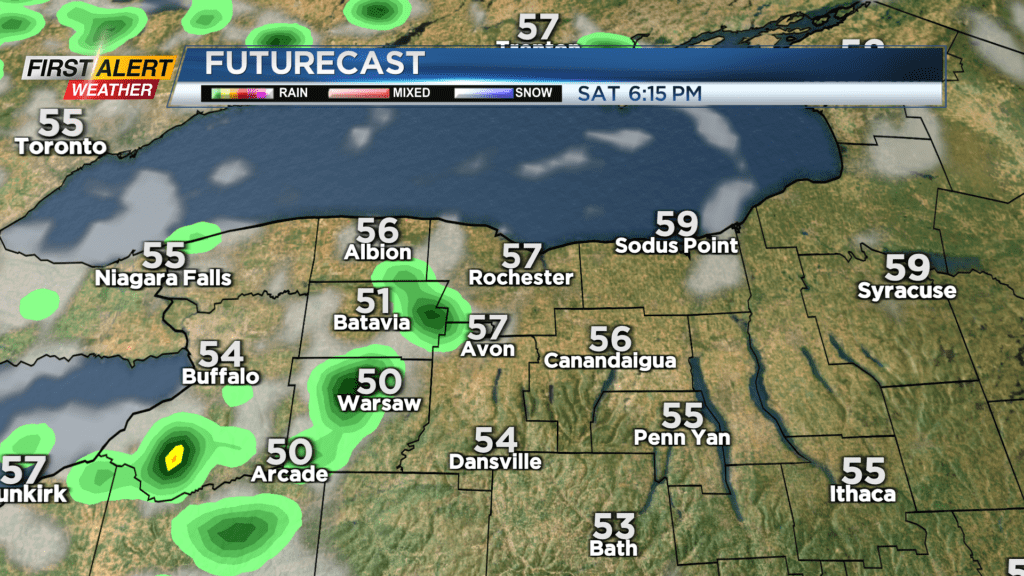
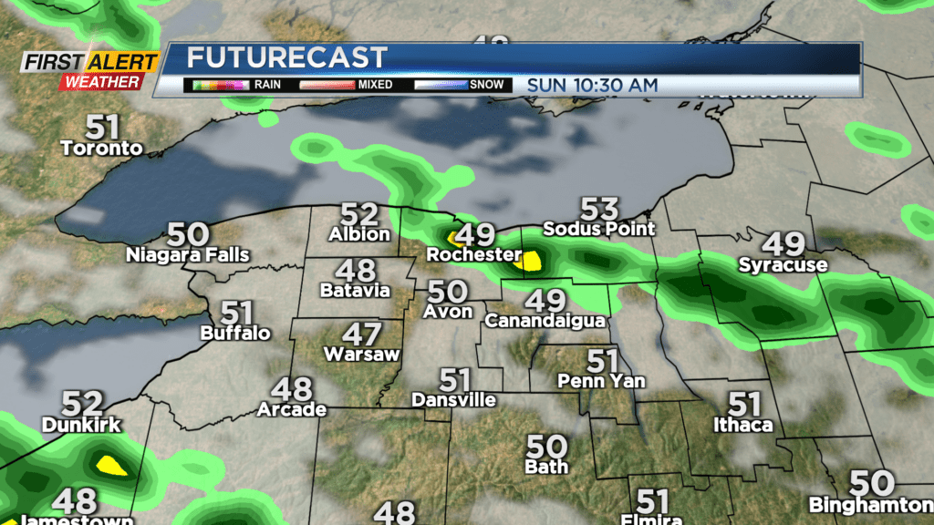
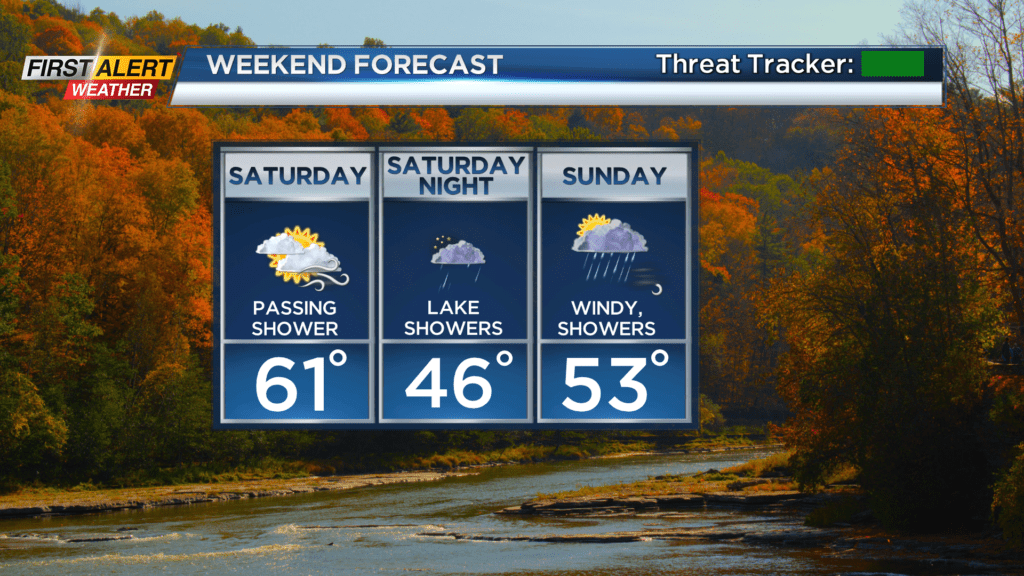
Our late fling with summer is officially over, and we’re welcoming back true fall weather. That includes some lake effect rain, some wind and much cooler air. Our first cold front arrives Friday night, dropping our temperatures into the upper 50s and lower 60s on Saturday. Now, Saturday won’t be all bad. In fact, it’ll be the nicer of the weekend days with just a few passing showers and some sun returning. Our second cold front arrives Saturday evening, and this one will pack more of a punch. Much cooler air will flow in overnight and into Sunday, meaning we begin to see lake effect rain developing. This will continue into Sunday.
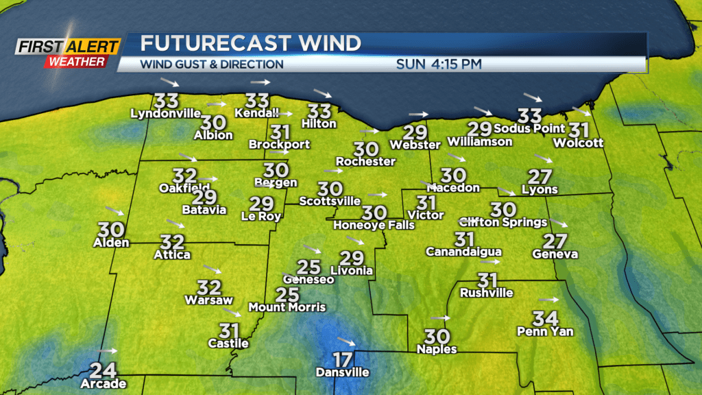
Not everybody will see the localized lake rain on Sunday, but those who do will see a few downpours passing through. Everybody will feel the wind pick up, with some gusts 30-35 mph, and temperatures dropping back into the lower 50s. So, Sunday will be the windier, wetter and chillier weekend day.
The first half of next week will feature a big trough over the Northeast, keeping us on the cool side in the 50s, with a little wind and an occasional shower. We’ll briefly warm back into the lower 60s mid-week, before our next system moves in by Thursday and Friday, bringing a much better chance for rain. At this early stage, it looks like we may continue the cool and damp weather into next week, as well.