First Alert Weather: Enjoy the warmth before it changes this week
[anvplayer video=”5172803″ station=”998131″]
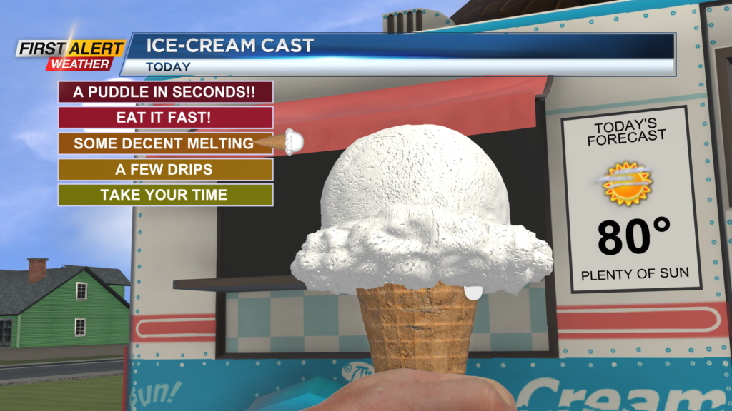
ROCHESTER, N.Y. – Another morning, and another wonderful start. Temperatures are starting off in the 50s with clear skies in place. We will continue to deal with the sunshine through our Sunday, and our afternoon highs will reach near 80 degrees once again.
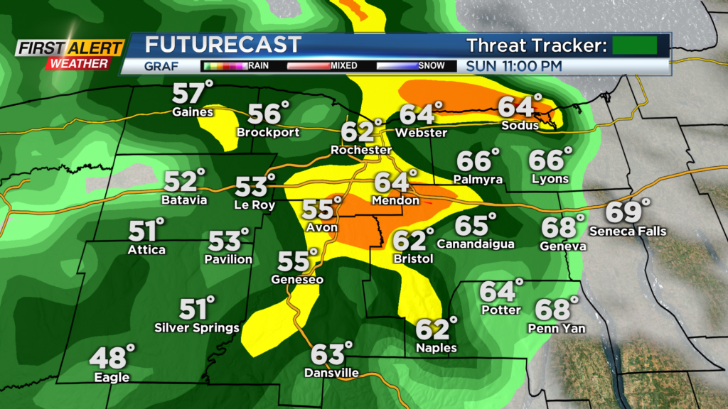
Enjoy the Summer-like temperatures today because they will be taking a seat through this week. A cold front to our west will bring us a cool down and a few rumbles of thunder tonight. This evening looks dry, but we could see an isolated shower or rumble of thunder after 7 p.m. Sunday. The best chances for showers and storms will be after 90 this evening as the cold front approaches. Shower and storm chances will continue through midnight tonight before we are left with an isolated shower or two for Monday morning.
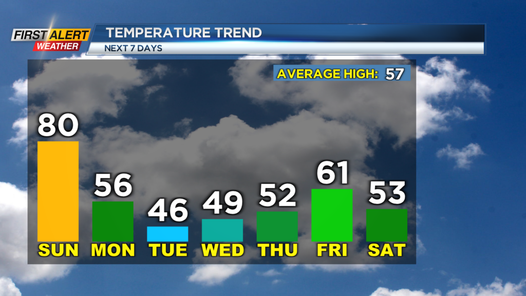
Temperatures will be taking a drop as the front passes through with temperatures going from the mid-60s early tonight to the mid-40s Monday morning. We will try and reach the mid-50s early Monday afternoon but keep the jacket with you as temperatures will drop into the 40s and upper 30s by Monday evening. A little sunshine will be possible early Monday, but a chance for showers will also roll back in during the afternoon.
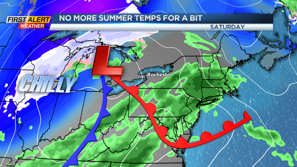
It will also be a bit gusty at times, making it feel a little cooler. The chilly air will continue to roll in for Tuesday as we could also have a few wet snowflakes mix in with. We will dry out for Wednesday and Thursday of this week, but another round of showers is on the way for Friday and Saturday. This will also bring us another shot of chilly air here in western NY.