First Alert Weather In-Depth: Spooky valley fog
[anvplayer video=”5194521″ station=”998131″]
If you are an early morning riser, then you know about valley fog.
If there is enough coverage and it is thick enough during the pre-dawn hours, you may have reduced visibility and it necessitates slowing your driving speed and using low beam headlights.
It can be pretty to look at and there is no real mystery behind the haze. In simple terms, it is really just a cloud that is located on the ground.
There are many types of fog such as upslope fog or advection fog. However, this example it is called radiation fog. Our News 10NBC First Alert satellite image from this morning shows what we call dendritic fog – which is a type of radiation fog. This develops in deeper valleys and needs a certain set of ingredients to become visible. Primarily, this includes a clear skies and a calm wind. Even with a temperature of 80 degrees during the day, it will cool down enough at night that condensation that will take place.
Obviously, if this happens, we get reduced visibility, especially in the outlying rural areas. Then as the morning progresses, the fog can get trapped near the surface of the Earth. Eventually the “fog will lift” as drier air will mix then bringing a return to sunshine.
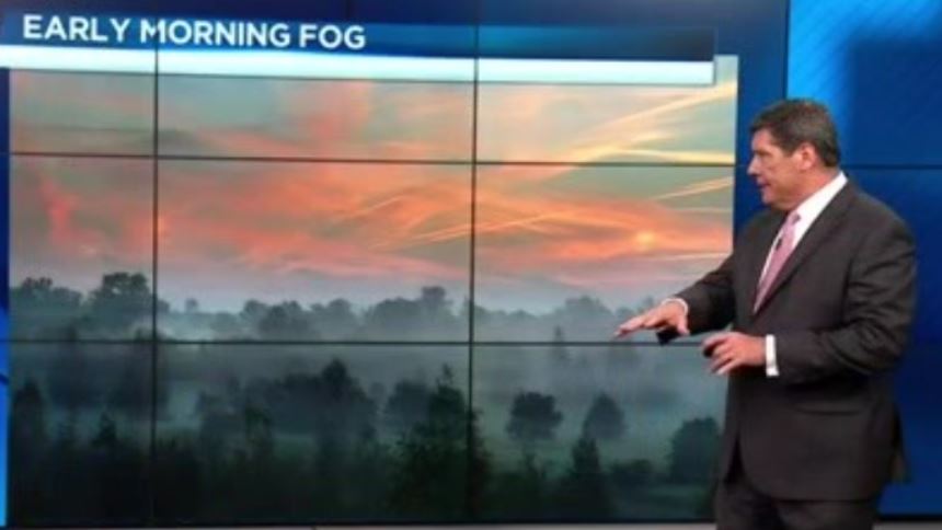
(Provided photo)
It is not exactly a meteorological term, but the fog can add to what we know as the spooky Halloween season here in Western New York. The question: is this a trick, or a treat?