First Alert Weather: Last warm day before November-like weather arrives next week
ROCHESTER, N.Y. — We’ve had a stretch of warmer than average late October air, but that is ending on Friday.
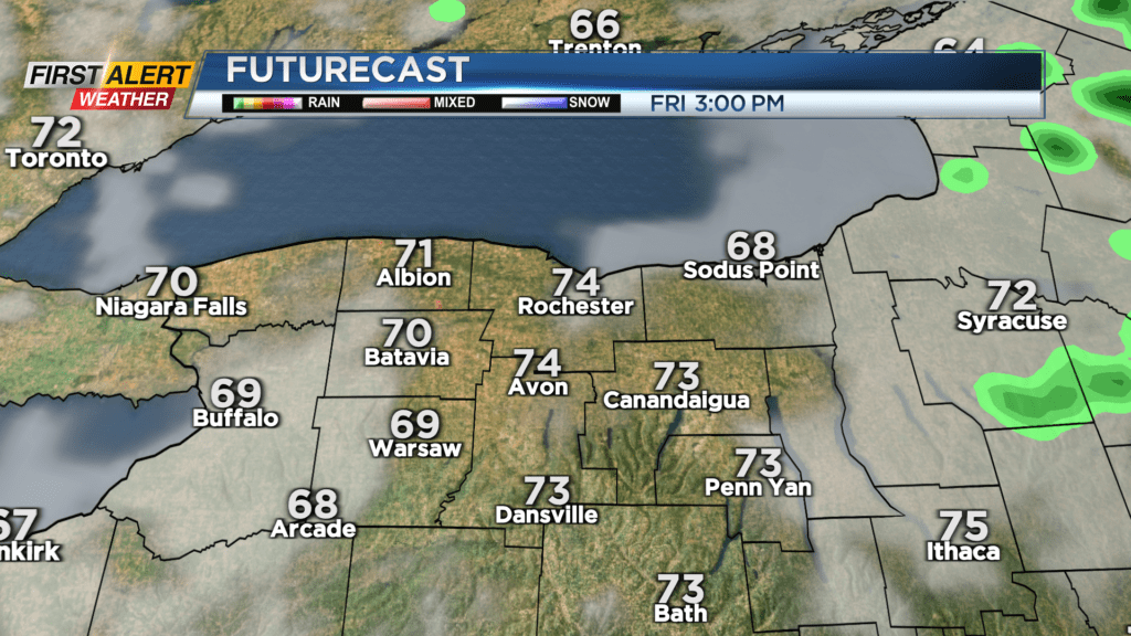
Like it or not, we’ll get one more day in the 70s on Friday before a sharp cold front moves through on Saturday morning. This will drop us back into the 50s on Saturday, followed by 40s by Sunday and lasting into the middle part of next week. We’ll see a few showers early Friday, before a mainly dry afternoon with some breaks of sun.
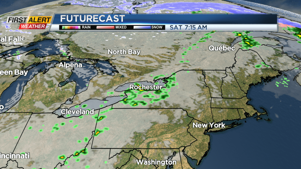
Showers become more numerous Friday night into early Saturday, with a rumble of thunder possible Saturday morning as our cold front moves through. While temperatures will drop Saturday afternoon, we should see some sun returning, along with dry weather.
Unfortunately, that dry weather won’t last. Another wave of rain moves in for Sunday, along with chillier air in the 40s.
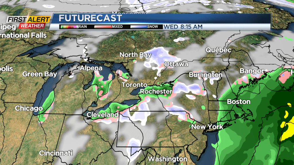
Our cold front finally pushes south on Monday, with some lingering rain showers early, followed by drier weather in the afternoon. A few rain or wet snow showers are possible later Tuesday and Wednesday. While the Trick or Treat forecast at this point doesn’t look too bad, it will be a cooler Halloween with temperatures in the lower to mid 40s and a rain or wet snow shower possible.
We’ll likely see a better chance for some mixed showers Tuesday night and into Wednesday.