Yellow Alert Weather for Saturday with another round of strong winds expected
ROCHESTER, N.Y. — A Yellow Alert will be in place across the region on Saturday with another threat for strong gusty winds.
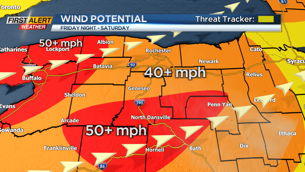
A high wind watch is in effect for the entire area, except Seneca and Yates Counties, which starts Friday evening and continues through the day Saturday.
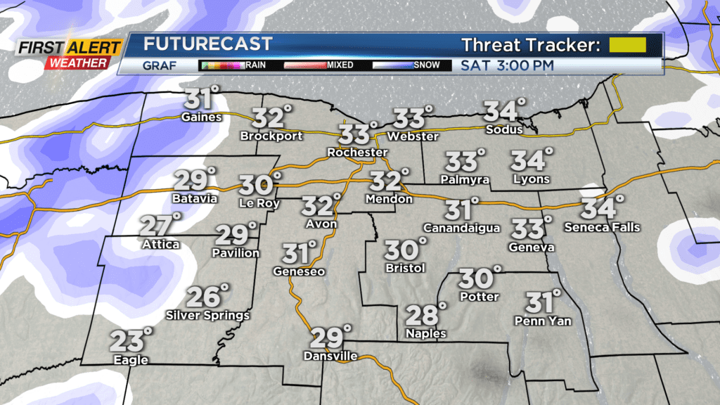
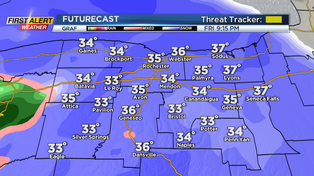
A strong area of low pressure will begin to bring impacts to our region starting late Friday evening with a burst of snow. That will eventually change over to rain late Friday night before a cold front passing by early Saturday morning changes us back over to snow showers for Saturday.
Ahead of that cold front will be some gusty winds near 40 miles per hour. But the strongest of the winds won’t make an appearance until the front approaches and passes by Friday night. Winds gusts as the front passes by could exceed 50 miles per hour and gust near 60 miles per hour, leading to down trees and power lines.
Then, for Saturday morning and afternoon, with colder air settling in, we will have gusts anywhere between 40 and 50 miles per hour with an occasional stronger gust. The power outage threat is low, but remains isolated through Saturday with the strong gusts.
Temperatures will also drop into the low 30s by Saturday afternoon and with the wind it will feel like the low 20s and teens. There is no Yellow Alert on Sunday for lake effect snow, as of now, so stick with the First Alert Weather Team for continued updates on what to expect this weekend.