First Alert Weather: Mild day on Friday before chillier air rolls in
ROCHESTER, N.Y. — Mother nature has gotten lazy with the weather as we wake up on Friday to another wet, cloudy, and mild start.
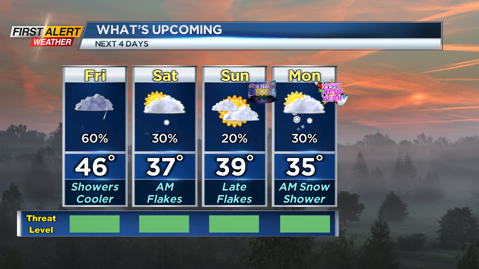
Temperatures on Friday morning are starting off in the 40s once again but will drop into the upper 30s by the evening. Fog is not as big of an issue as Thursday but through Friday morning some patchy fog is possible.
Cloudy skies and scattered showers will stick around through much for the day Friday again as well. Scattered showers on Friday evening will then mix with a little wet snow too as temperatures drop. No impacts to the roads are expected, but some snow may stick to colder surfaces late Friday night as temperatures get closer to freezing.
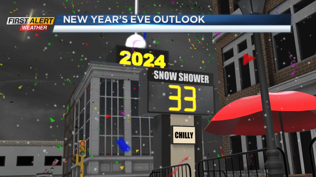
A lingering snow shower will be possible Saturday morning, but generally drier weather is expected. Mostly cloudy skies are expected Saturday with some sun possible in the afternoon. Clouds will continue to stick around for New Years Eve on Sunday but most of the day will be dry.
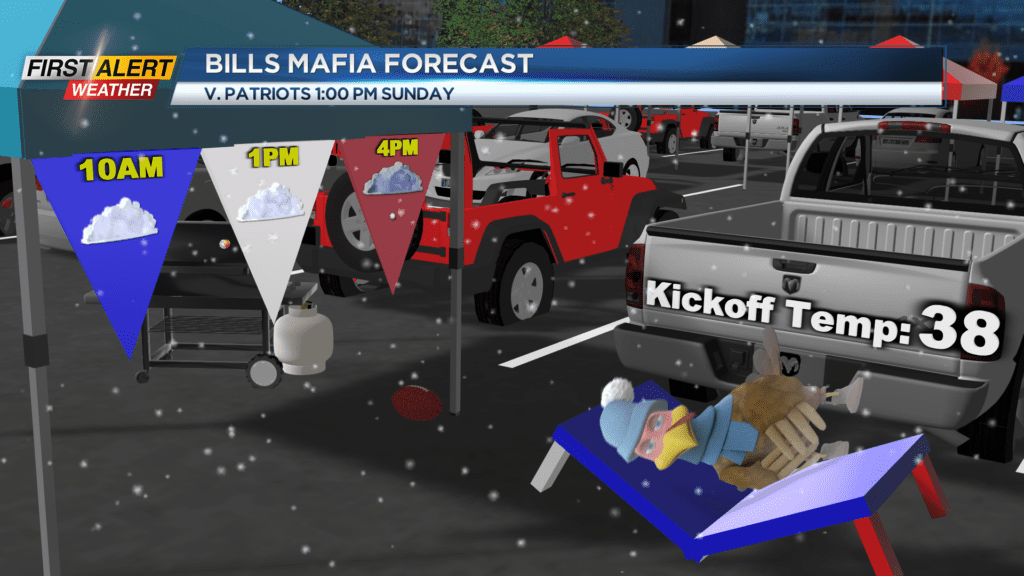
There’s good news for our region and for those heading to Buffalo for the Bills game. Temperatures on Sunday will be colder as highs only reach the upper 30s. A few snow showers will try and move in Sunday evening and Sunday night. Some may try and stick to the roads as temperatures hover near freezing.
No large impacts are expected, and less than an inch of snow is expected. Just be careful for any New Years celebrations as snow showers likely persist past the ball drop. A snow shower will likely linger into early Monday morning, but we will generally start the new year off with much more seasonable weather with highs in the 30s.