First Alert Weather: More record warmth, then back to reality
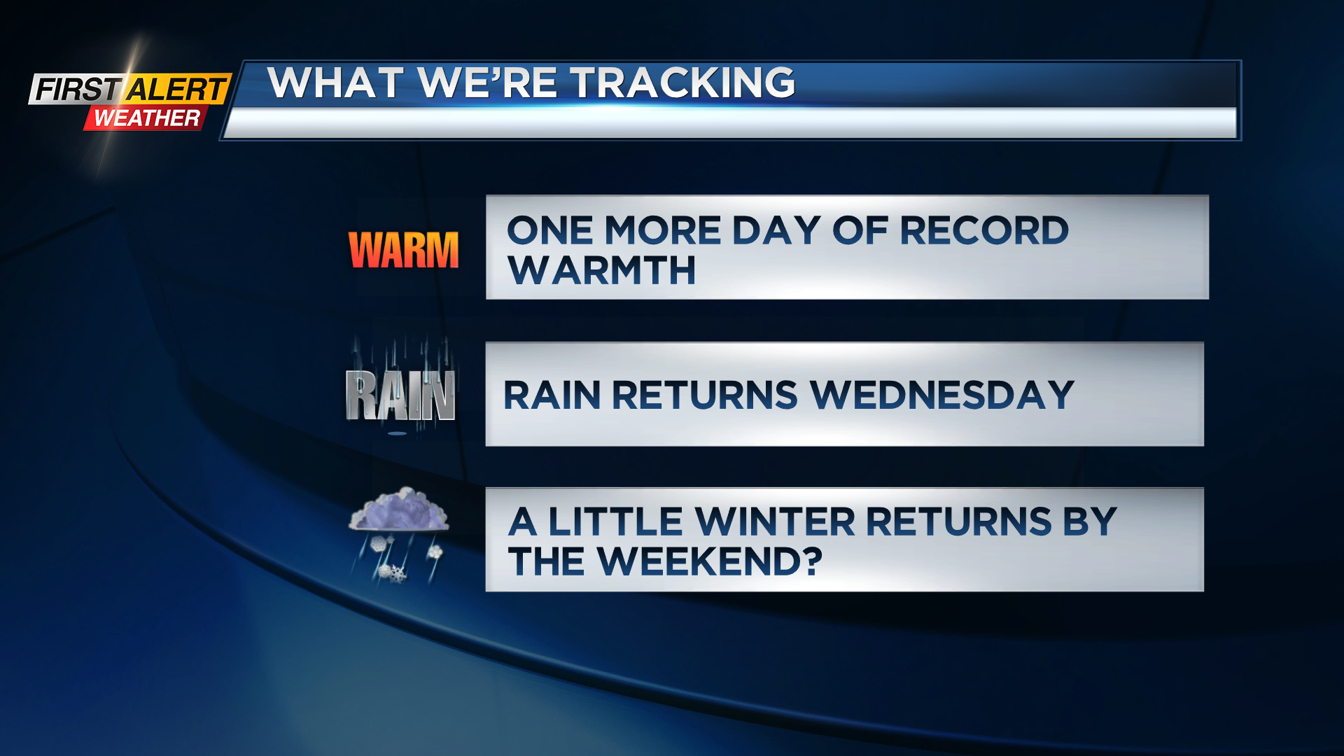
ROCHESTER, N.Y. – Monday’s highs reached into the lower 70s, which set a new record high for the date, breaking the old record of 69 degrees. We’ll keep it unseasonably warm for one more day, with temperatures near 50 in the morning, and rising into the upper 60s to near 70 by the afternoon. While we’ll see a fair amount of sunshine, clouds will more noticeable, and we’ll eventually see some rain showers later in the evening. Tuesday’s record high sits at 67 degrees, which will likely be another record broken. Rain Tuesday night lasts into much of Wednesday, before slowly pushing south by Thursday. This should leave us mainly dry to end the week, but temperatures falling from an early high of 50 on Wednesday into the 40s on Thursday.
The weekend isn’t looking great at this point, with rain likely on Saturday, followed by falling temperatures and some rain or wet snow possible on Sunday. Don’t forget we need to “spring ahead” Saturday night into Sunday morning, which will push our sunrise back into the 7 o’clock hour, but also push our sunset an hour later, with a sunset after 7 p.m. on Sunday night!