First Alert Weather: More sun and a little snow on the way
[anvplayer video=”5151810″ station=”998131″]
ROCHESTER, N.Y. As promised, our grayest part of the week is behind us.
High pressure building in from Canada will continue to dry our air out and clear out the skies. This means more sunshine for Friday, especially through the afternoon. Saturday will see intervals of clouds and sun, and seasonable temperatures near 40.
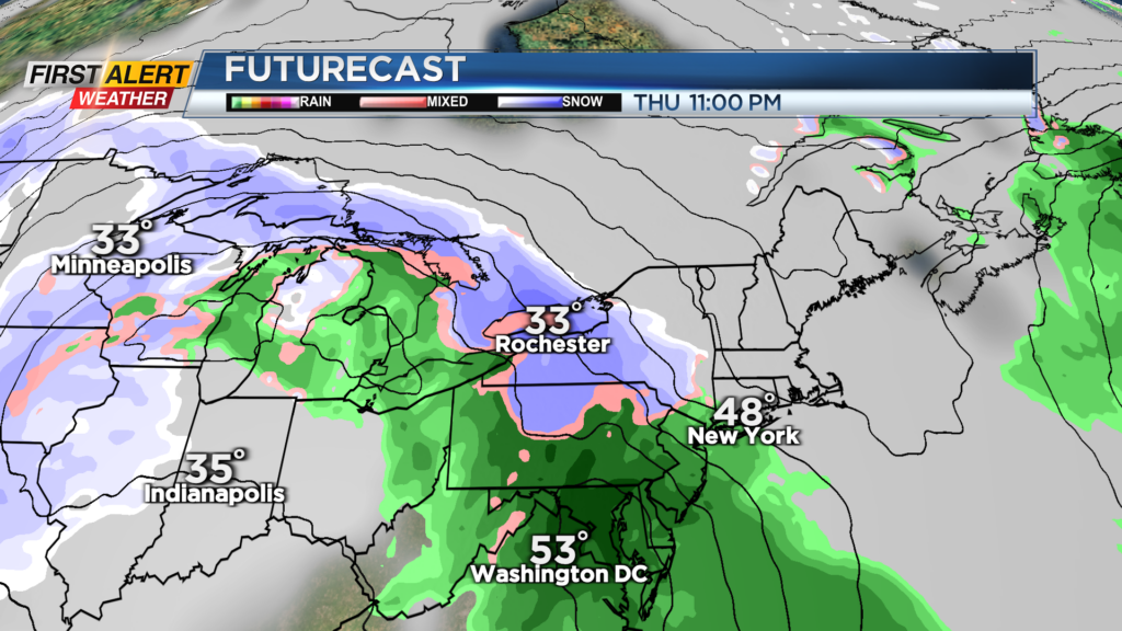
A fast-moving and fairly weak area of low pressure will impact us on Sunday, with a rain/wet snow mix developing early. Most areas will see nothing more than a slushy coating on grassy surfaces, with nothing on roads and pavement, as surface temperatures remain above freezing.
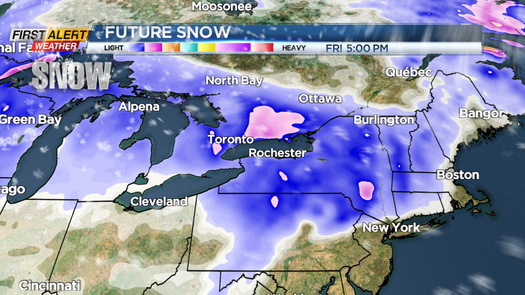
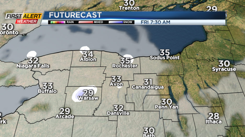
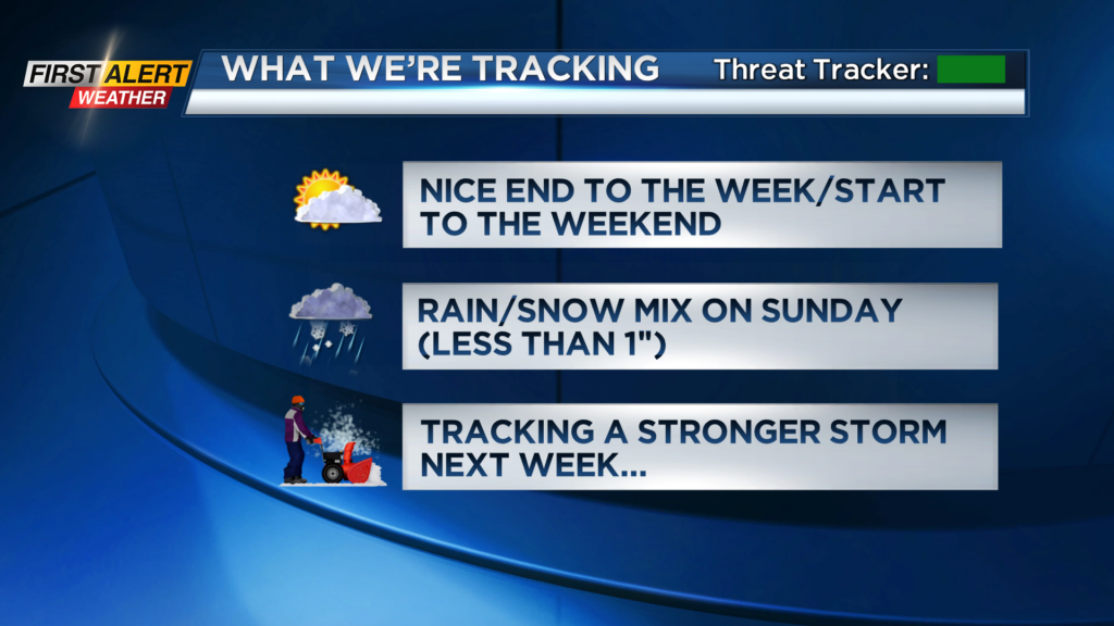
The higher terrain of the Southern Tier and Finger Lakes may pick up an inch or two of heavy, wet snow, but that would be the exception. Any lingering flakes on Monday morning will come to an end, leaving us with seasonably chilly air and quiet weather through mid-week.
We continue to track the potential for a more impactful winter system by the end of next week with a wintry mix transitioning over to some accumulating snow. With this being a week away, there are still many details to iron out, but if the trends remain, a Yellow Alert may need to be issued for Thursday and/or Friday.
Details will start to come into better focus as we head into the weekend, and the First Alert Weather Team will continue to provide frequent updates to the forecast both on-air and online.