First Alert Weather: More sun, warmer air on the way
[anvplayer video=”5190609″ station=”998131″]
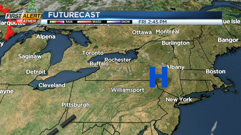
ROCHESTER, N.Y. — High pressure overhead will keep us dry with a clear sky Thursday night, and more sunshine will come on Friday.
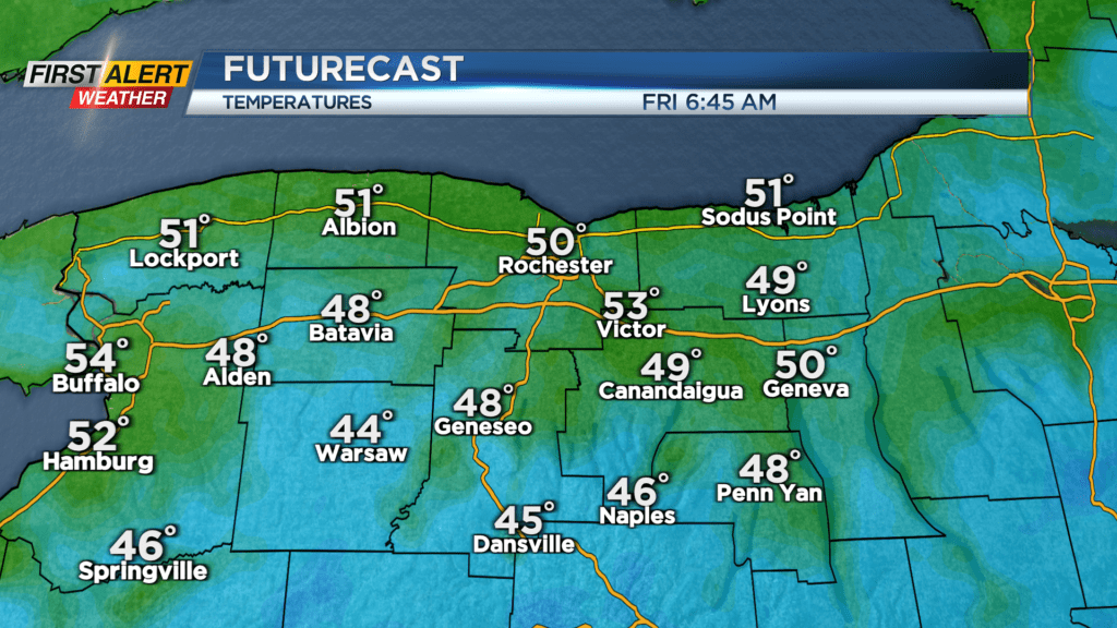
Temperatures will range from the mid 40s well south of Rochester, to the mid 50s closer to Lake Ontario to start Friday. We’ll rebound nicely, making our way back into the mid to upper 70s by the afternoon with low humidity.
A warm front moving through on Saturday will bring a slight uptick in cloud cover, and just the outside chance of a stray shower, but plan on dry weather to kick off the Labor Day Weekend. Sunshine returns on Sunday, with slightly higher dew points and temperatures in the mid to upper 80s.
We’re forecasting the warmest air of the summer, and a heat wave for the first week of September. Highs on Labor Day will likely push into the lower 90s, and stay there Tuesday and Wednesday. If we do reach 90 degrees or higher three days in a row, that will be a heat wave.
We’re working on timing out a cold front, that will bring a return to some showers or a storm, and put an end to our 90s. At this point, it appears that may happen on Thursday, but there is the chance the front could be delayed, which may keep the warmth around even a little longer.