First-Alert Weather: More wintry weather on the way, including some snow and cold to kick off the weekend
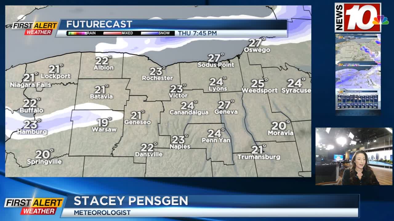
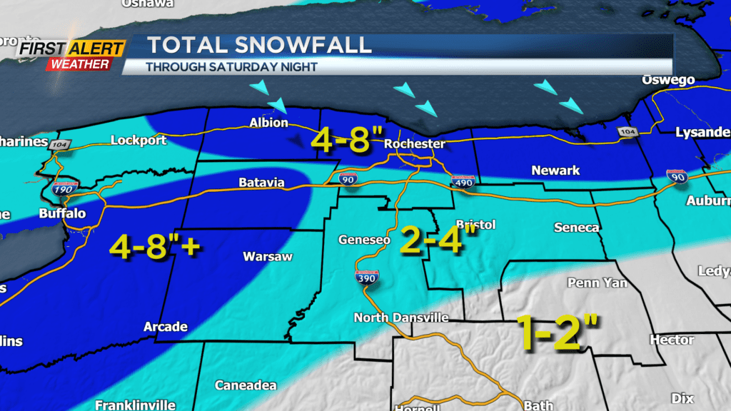
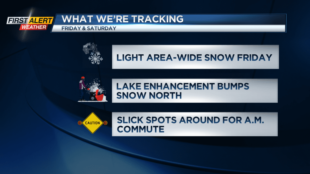
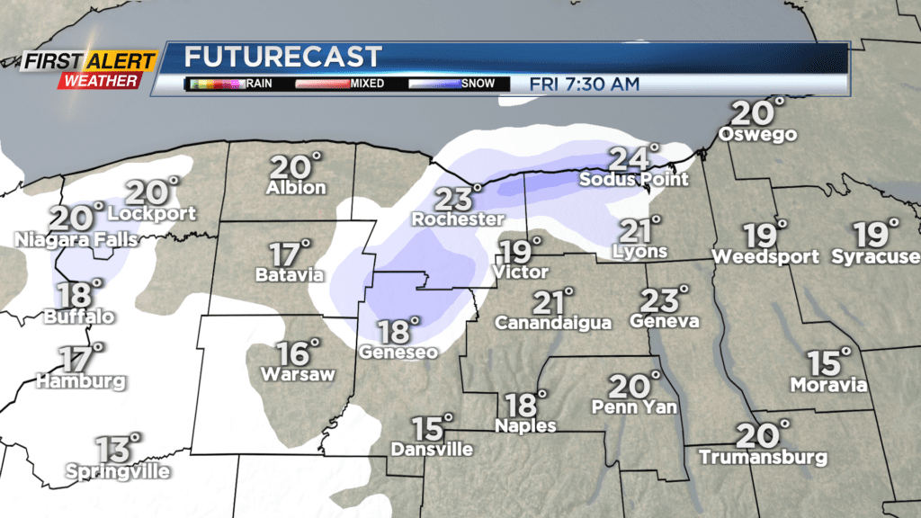
The intense lake effect coming off of Lake Erie will be coming to an end Thursday night, but Lake Ontario will start to come into play. An upper-level disturbance moving through the Great Lakes will bring a light area-wide snow, delivering a few inches of fresh fluff. But a shifting wind out of the north will begin to bring in some lake enhanced snow for our northern tier counties. Orleans, Monroe and Wayne counties could see an additional few inches of snow on Friday (generally a 3-6-inch accumulation), with another inch or so overnight, and then another inch or two on Saturday. So, by the time the snow winds down, our lakeshore counties and communities may end up with more than a half-foot of snow, but this will come at a fairly steady pace over two days, so it will be manageable. If you’re south of the Thruway, expect a 2-4-inch accumulation; and in the southern Finger Lakes, an inch or two.
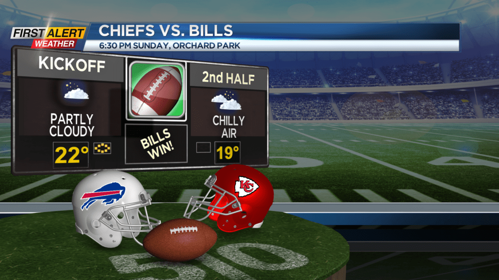
Saturday will be quite cold, with highs in the teens, and wind chills near zero. Lake snow will end by Sunday morning, and we’ll see a bit of sunshine making a return. If you have plans to go to the Bills game, hopefully most of the snow they’ve received over the last few days will be clear! But the weather at game time will be calm and cold with temperatures in the lower 20s. If you’re not a fan of the big chill, we’ll warm back into the 30s and 40s with some rain at times next week.