First Alert Weather: Nickel and dime snow in our future
[anvplayer video=”5159323″ station=”998131″]
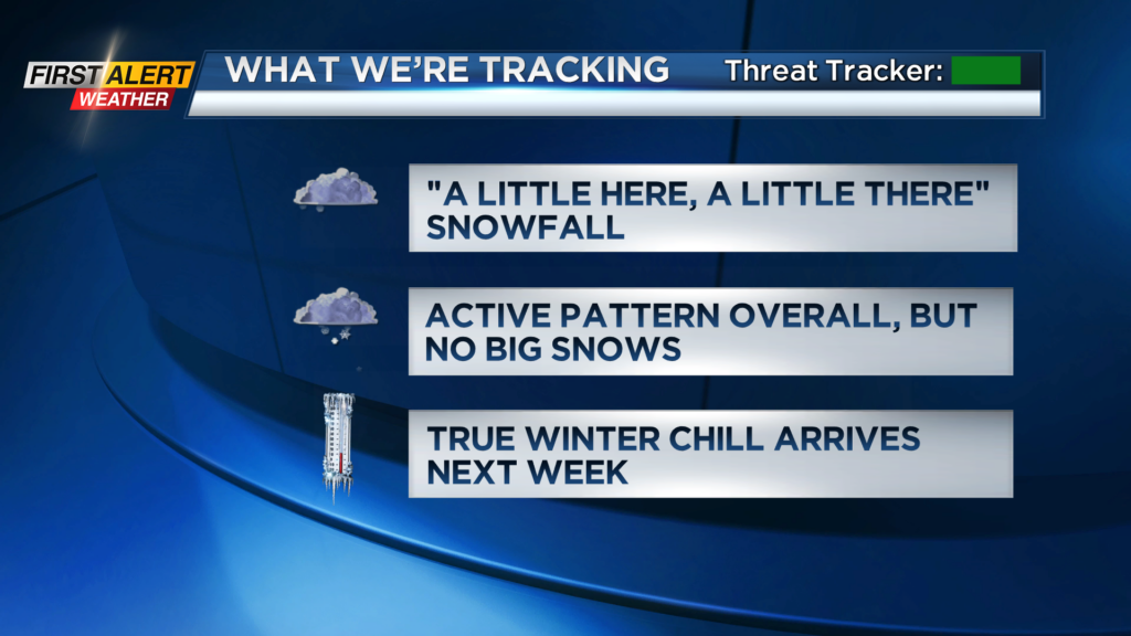
ROCHESTER, N.Y. – If it seems like it’s been forever since you’ve seen your plow operator, you may not be imagining it. The last time the Rochester area recorded three inches or more of snowfall in a single day was back on March 2012! Since the winter season began this year, we’ve barely seen more than two inches of snow in a day. And that theme looks like it’ll continue for the near future.
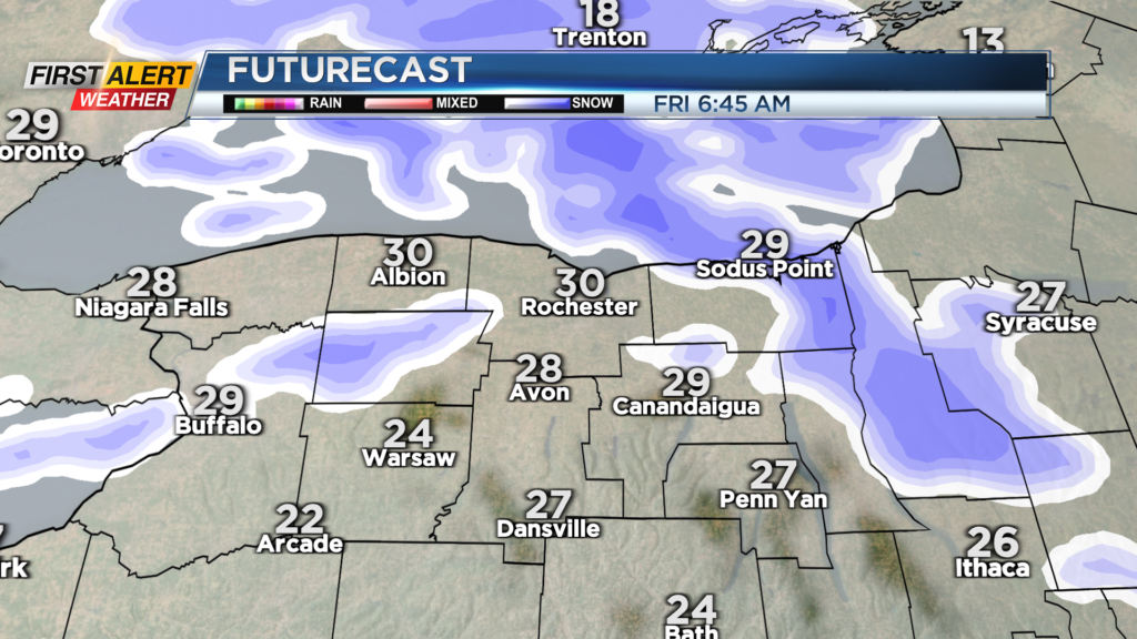
A little lake effect and passing snow showers will deliver very little to the area tonight into Friday and Saturday. Clouds will win out, though we may be lucky enough to see some limited breaks of blue here and there both Friday and Saturday afternoons.
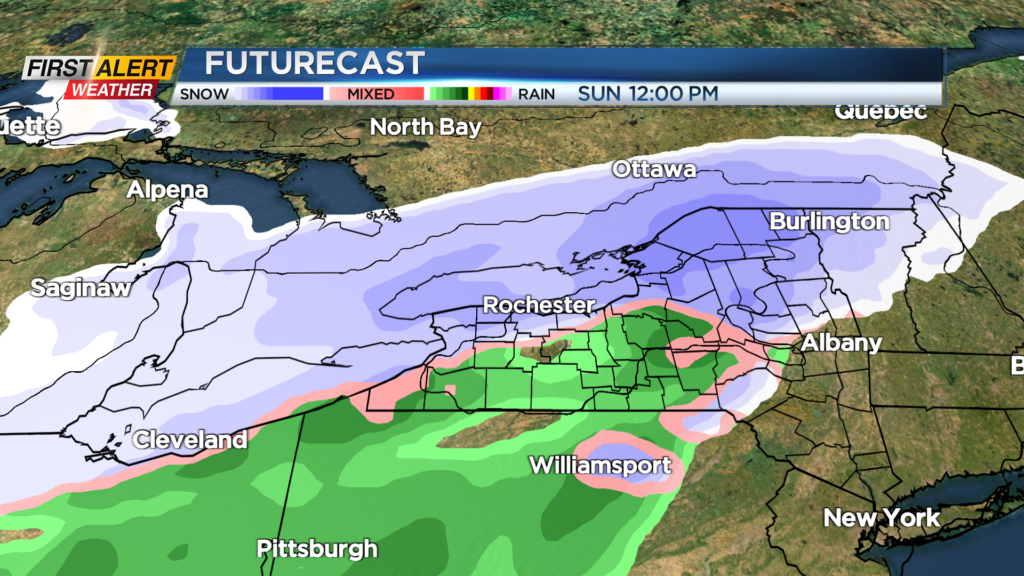
Our next weak wave of low pressure moves in on Sunday. Temperatures should be just cold enough for a wet snow in and around Rochester, but a little rain or light wintry mix may briefly mix in south. Once again, expect a coating to an inch or two of wet snow across the area on Sunday, with another weak wave possible on Monday.
It’ll turn chillier on Tuesday, with nothing more than some flurries both Tuesday and Wednesday. We’ll get a blast of colder air later next week, which may get some lake effect snow going by Thursday and Friday, with high temperatures in the lower half of the 20s, and overnight lows deep into the lower teens, perhaps single digits.
We may be watching a stronger low developing by next weekend, but that is more than a week out, and at this point, is simply something to monitor.