First Alert Weather: Positive trends this weekend before showers on Halloween
[anvplayer video=”5144658″ station=”998131″]
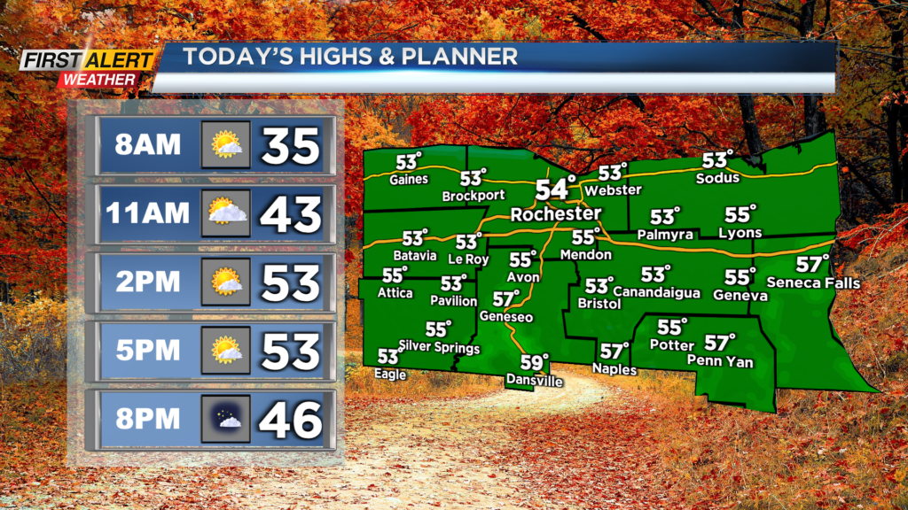
ROCHESTER, N.Y. — It’s a cold start to Friday morning as temperatures have started off in the low 30s and upper 20s for many of us.
Grab the jacket out the door in the morning but after the cold starts we are expected to turn milder this afternoon.
We will still need the light jacket later into Friday but highs will make their way into the mid 50s this afternoon. The good news is that we will not be as breezy as Thursday and a good deal of sunshine is expected with partly cloudy to mostly sunny skies.
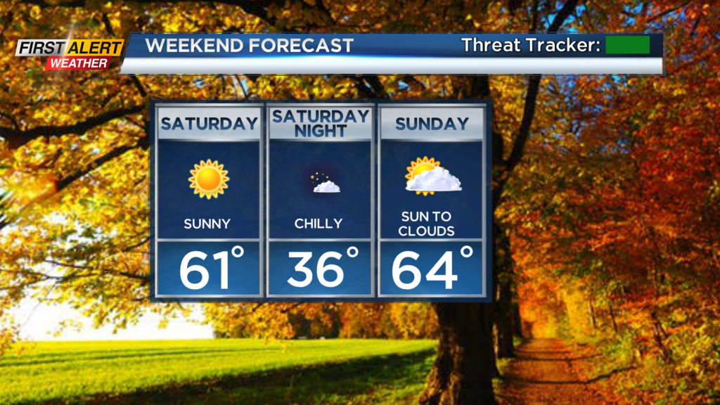
The cold weather will return tonight though as skies remain clear and winds are calm. After another cold start on Saturday, with temperatures in the 30s, we will warm up Saturday afternoon.
More sunshine is expected as well with highs near 60 for Saturday afternoon. We will be even warmer on Sunday with temperatures returning to the mid 60s in the afternoon.
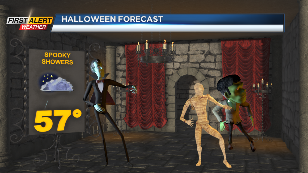
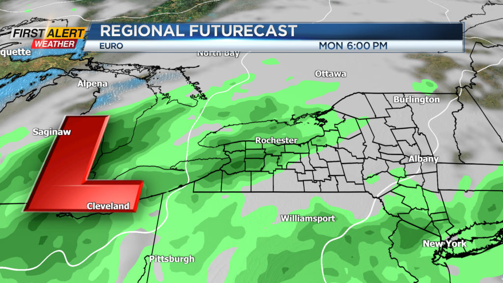
We will see clouds increase through the day on Sunday as showers return to the forecast, unfortunately, for Halloween. A weak wave of low pressure will move through the Great Lakes on Monday and bring us increased cloud cover and a chance for showers, especially during the evening hours.
So for trick-or-treaters, make sure you are prepared for a few showers and cool weather with temperatures in the 50s. A washout is not expected.
______________
Download the WHEC First Alert Weather app to stay up to date while on the go.
Watch the latest full forecast online.