First Alert Weather: Possible showers and storms heading into Wednesday night
[anvplayer video=”5189661″ station=”998131″]
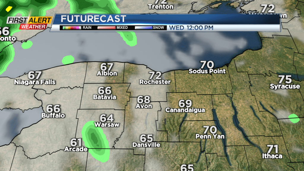
ROCHESTER, N.Y. — We’re starting off this Wednesday on the cloudy and cool side. Cloudy skies on Wednesday morning will give way to a passing shower in the afternoon.
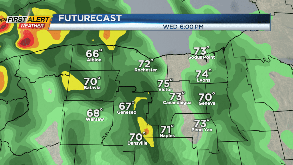
Showers on Wednesday evening and night could be heavy at times and they will likely last into Thursday morning. Heavier rain will most likely impact areas west of Rochester out towards Buffalo but will be close so need to monitor.
Flooding is not much of a threat for our region but we will monitor any possible pooling and ponding on local roadways. Temperatures Wednesday afternoon will only be in the mid-70s.
We will remain unsettled on Thursday with another chance for showers across our area. We will also be monitoring an area of thunderstorms to the west that could bring in a gusty storm to the Finger Lakes, but our severe risk for Thursday is low.
Then a bit of a break on Friday with an isolated shower possible before a greater chance for showers Saturday. Saturday looks to feature cooler weather along with more unsettled weather with a good amount of showers expected in the afternoon. Our flood threat will be very low through the upcoming weekend, but through the next few days anywhere from .5” to 1” of rain is expected with locally heavier amounts possible.