First-Alert Weather: Rain returns and fog sticks around
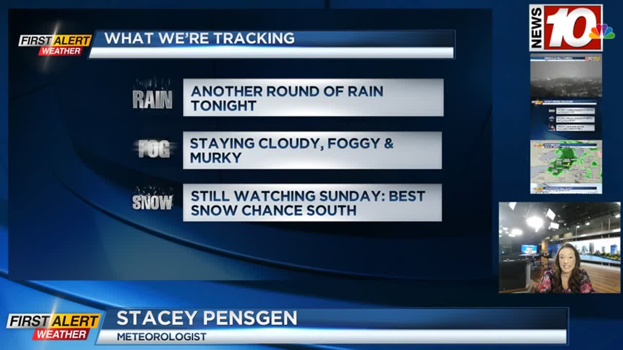
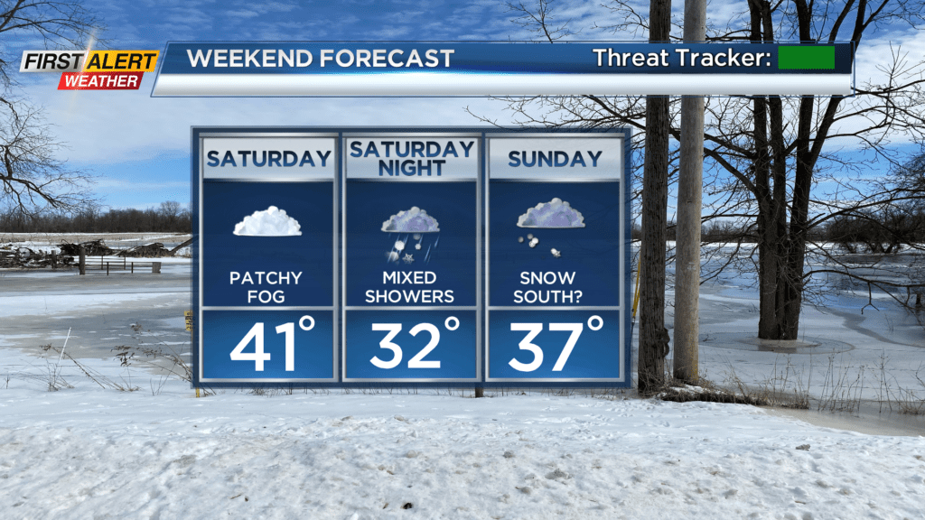
Locally dense fog will tend to come and go, but stick around into Friday, and to a lesser extent Saturday. Rain will also be making a return Thursday night, with most of the steady rain tapering by Friday morning. Still, Friday will be a damp day overall with a few showers, some mist, drizzle and fog. Temperatures on Friday will hold within a few degrees of 40. The weekend starts off dry with low clouds and some areas of fog once again, but it shouldn’t be as dense as it has been. We’re still eyeing a storm moving up the coast that may bring us a little bit of snow on Sunday. The amount of snow (or whether or not we see snow) will come down to the track of the coastal low.
At this point, plan on minor accumulations closer to Lake Ontario and Rochester, with amounts going up the further south and east you go. Some areas could be doing some shoveling, especially if you live in the Southern Tier or Finger Lakes. A slight shift in the track could have a fairly big impact on our snow, so keep checking back in.
Once that low moves out, we’ll see fairly quiet and chillier weather returning for the early to middle part of next week. In fact, we’re hopefully we’ll see a little bit of sun making a return!