First Alert Weather: Rain & wind ahead this weekend
[anvplayer video=”5169432″ station=”998131″]
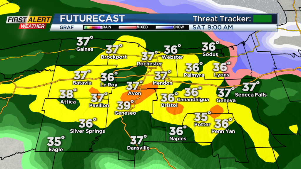
ROCHESTER, N.Y. – A chilly start to the day on this Saturday morning with temperatures hovering around the freezing mark. We are also on the cloudy side with rain expected this morning and showers this afternoon.
With temperatures near freezing this morning, we will likely start off with some wet snow before transitioning over to rain by the middle of the morning. No accumulation or impacts to roads are expected with the brief wintry mix. We will see widespread rain into the early afternoon before we transition over to a period of drier weather this afternoon. We will generally be cloudy this afternoon but breaks in the clouds for some sunshine will be possible. Then this evening the cold front approaches from the west and bring us a shot of thunder as it passes through.
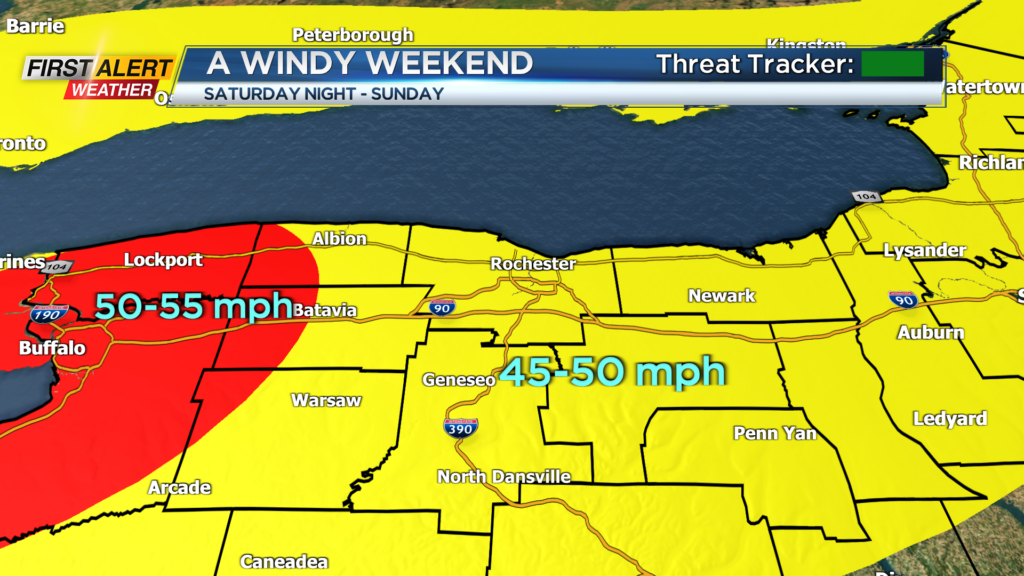
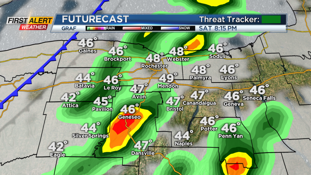
Temperatures this afternoon and evening will also make their way to near 50 degrees before cooling down when the front passes by. Also, on the backside of the front is when the winds will pick up. A High Wind Warning will go into effect for Monroe, Orleans, Genesee, and Wyoming Counties this evening and end tomorrow morning with the remainder of the region under wind advisories for the same time. Wind gusts tonight and early Sunday morning could gust near 50 mph with the strongest of the gusts west of Rochester.
Winds will slowly subside through the day Sunday and turn breezy in the afternoon. Sunday will also feature decreasing clouds through the day with highs in the mid and upper 40s. As far as power outages, spotty or stray outages will be possible.