First Alert Weather: Remaining dry on Wednesday, a few rain and snow showers Thursday
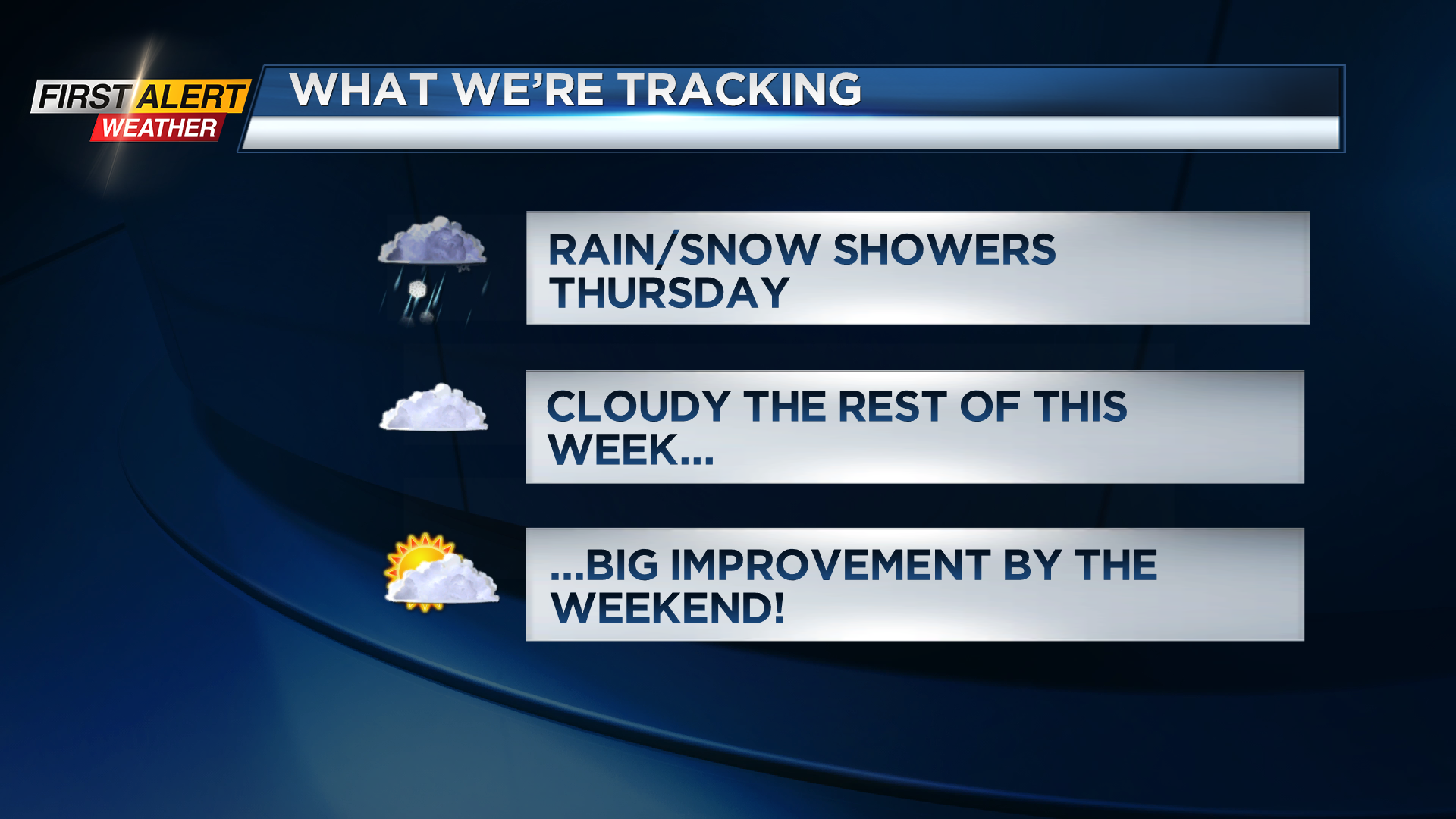
ROCHESTER, N.Y. – Our clouds will remain rather stubborn for the rest of the work week, before some changes by the weekend. The details: Thick clouds may tend to break up a little bit overnight and into parts of Wednesday, though don’t expect much more than a few limited breaks of sun on Wednesday. Temperatures will warm a few degrees into the upper 30s and lower 40s. A weak upper level disturbance passing to our east will drag a cold front through the area on Thursday. This may produce a few rain or wet snow showers, but no accumulation. You’ll notice a drop in temperatures by Friday and to start the weekend, with highs dropping back into the lower 30s. It may be chilly enough for a few lake flurries on Friday, but no accumulation.
If you’re tired of the clouds, you’ll like the extended forecast. We expect more sunshine to make a return starting this weekend, with a partly to mostly sunny sky at times. In fact, this pattern will continue into at least the first half of next week. Temperatures to start next week will be seasonably chilly in the lower to mid 30s, then we’ll warm into the 40s by late week ahead of a potential system later next week. This will also bring a chance for rain by late Thursday or Friday of next week. So, expect brighter weather, and eventually milder weather into next week.