First Alert Weather: Showers ahead for Sunday
[anvplayer video=”5184519″ station=”998131″]
ROCHESTER, N.Y. — Waking up to a cloudier and warmer start this Sunday as overcast skies have taken over with temperatures in the mid and low 60s.
We will see cloudy skies give way to passing showers, and a few rumbles of thunder Sunday afternoon and evening. A washout is not expected, but for any afternoon plans do be mindful of running into a shower or storm. With these showers and storms Sunday afternoon we will be watching out for locally heavy rain. Our flood threat is low, but we will need to watch for localized pooling and ponding and limited visibility on the roads.
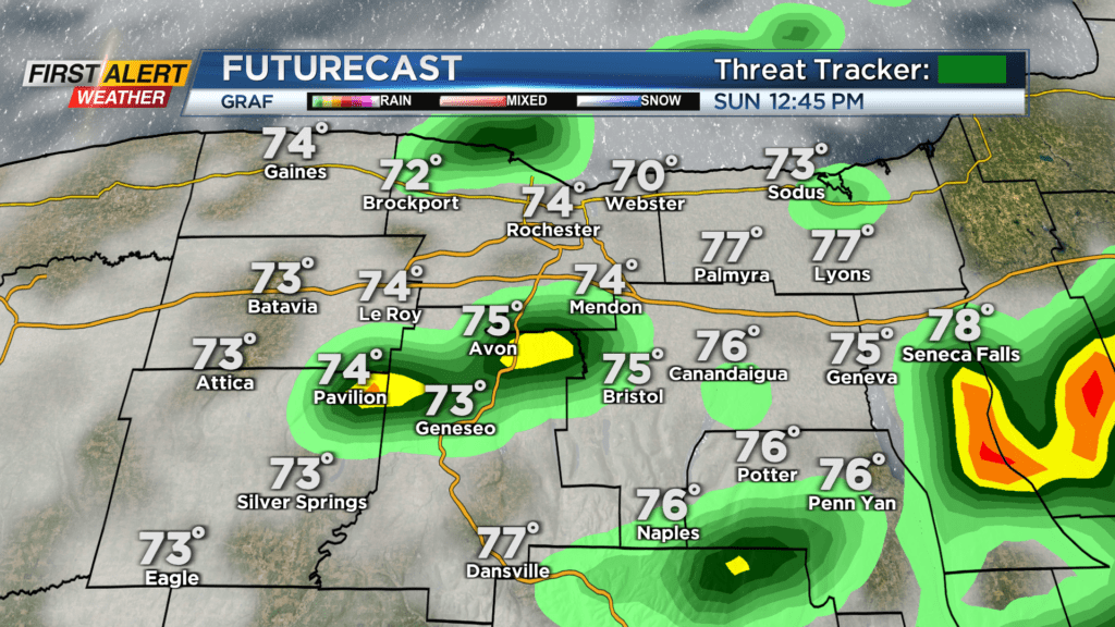
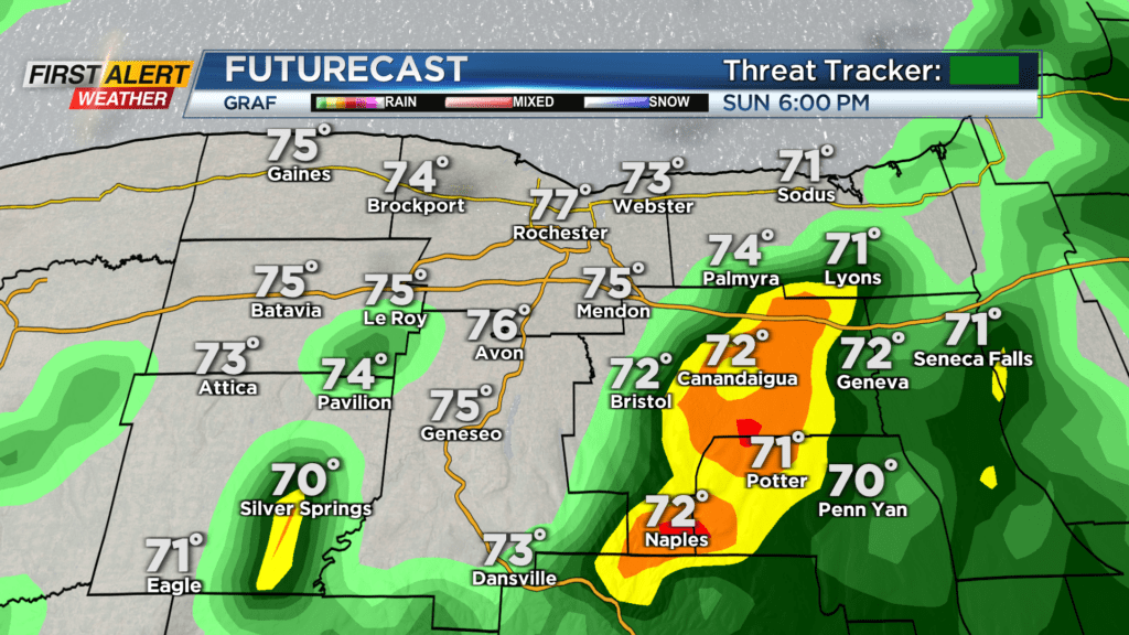
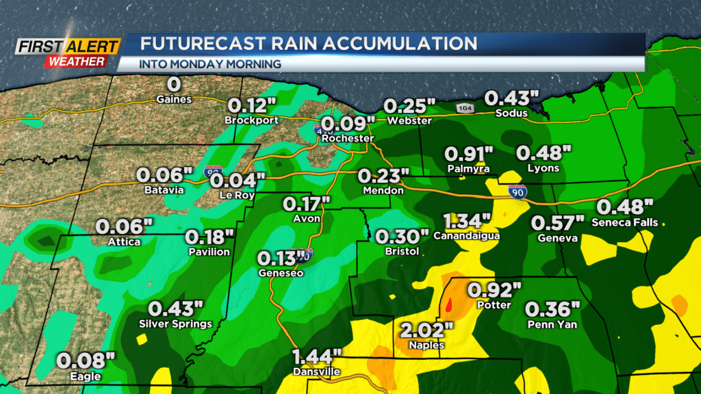
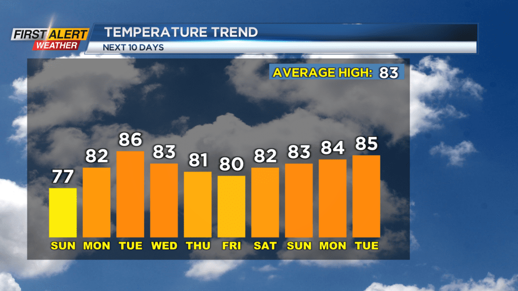
Shower chances will continue into Sunday afternoon before drying out by Monday morning. Temperatures Sunday afternoon will reach the mid and upper 70s. This week will feature more chances for rain, along with up and down afternoon highs. We will make our way into the mid-80s by Tuesday afternoon before a cold front brings us showers and storms for the end of the week and knocks our afternoon highs into the upper 70s and low 80s.
However, after that there is a promising warming trend. Afternoon highs into next weekend and the following week will likely sit in the mid and even upper 80s.