First Alert Weather: Showers Saturday with record warmth this week
ROCHESTER, N.Y. — Waking up Saturday morning to a damp start as showers have moved in overnight.
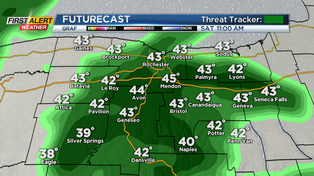
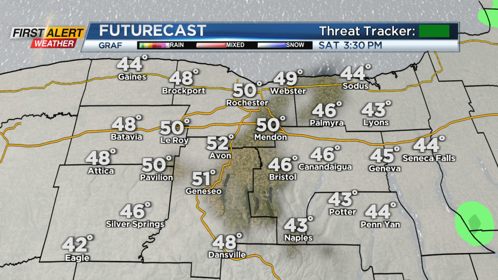
The scattered showers will likely continue through the early afternoon hours Saturday before drying out late. Temperatures are on the milder side to start off this Saturday with them near 40. With the cloudy skies in the forecast through Saturday, we will slowly warm up to near 50 degrees Saturday afternoon.
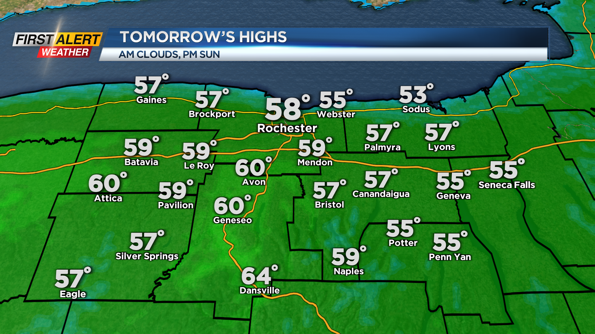
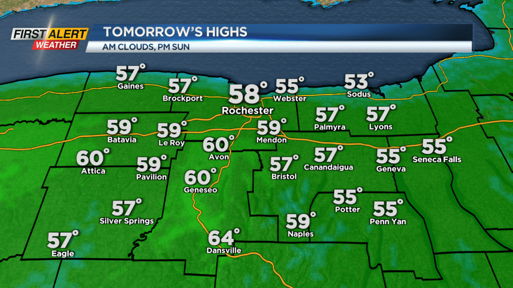
Cloudy skies and mild temperatures will continue through Saturday night before the sun returns Sunday afternoon. Sunday will start off a bit cloudy, but they will break apart and allow for some sunshine Sunday afternoon. With the sun, we will warm up to near 60 degrees on Sunday. The warming trend continues into early this week as record warmth is in the forecast.
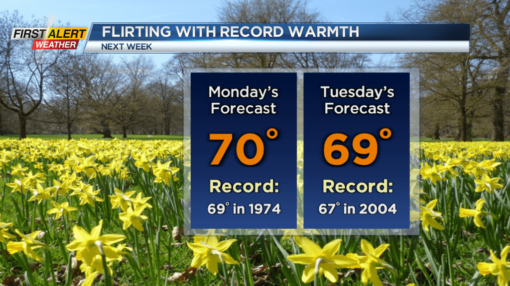
Both record highs Monday and Tuesday are forecasted to be broken as both days will likely see afternoon highs near 70 degrees! This will come with an abundance of sun on Monday, but a little more clouds on Tuesday with a shower possible late. This shower chance is ahead of a cold front that will pass by Wednesday morning and cool us down for the rest of the week. Winds will not be a factor as this cold front will not be as strong as our last.