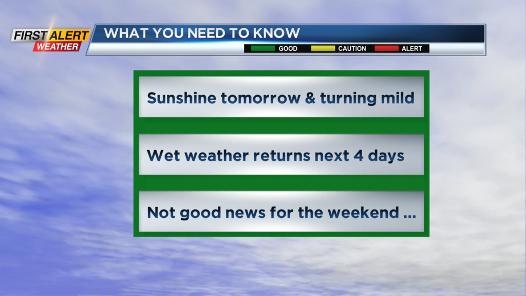
First Alert Weather: Significant improvement in the weather, but it will not last
[anvplayer video=”5174239″ station=”998131″]
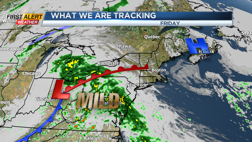
ROCHESTER, N.Y. – A high-pressure system now located over the western great lakes will slowly overspread the northeastern states over the next 24 hours. This will eventually bring some pleasant weather to Rochester. However, the recommendation is to get out and enjoy the return to the dry conditions as any sunshine will be fleeting in the coming days.
The next storm will move quickly move into the great lakes for Friday and Saturday. This will renew the chances for rain heading into the weekend.
Wednesday night, look for mainly clear, starlit skies and with the lack of clouds it will be a chilly night. Temperatures will fall into the lower 30s and as result, there will be the potential for patchy frost overnight.
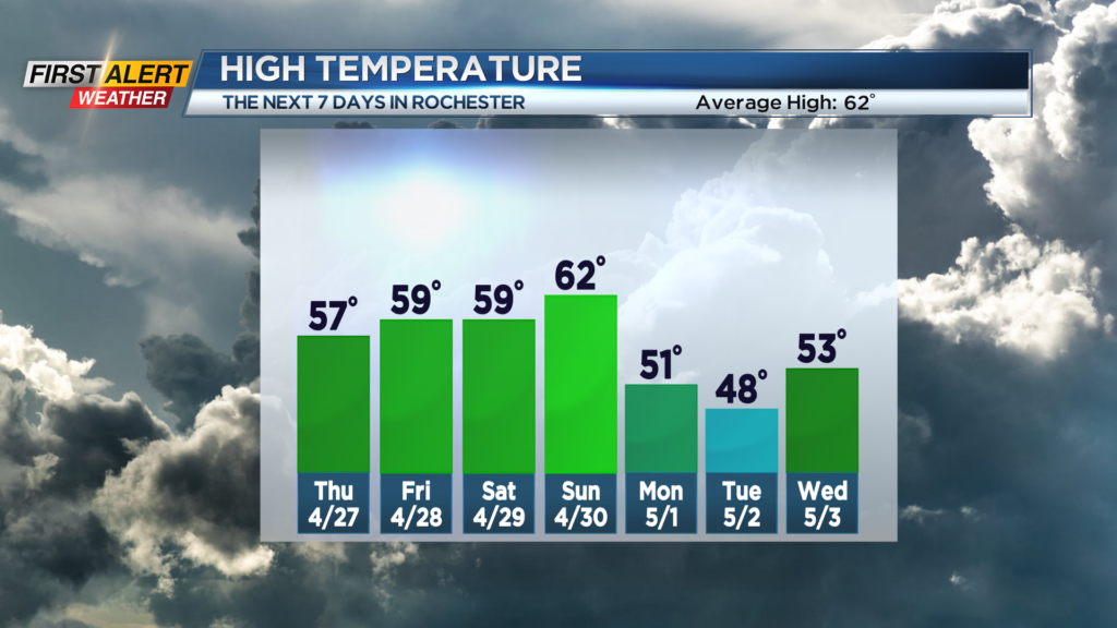
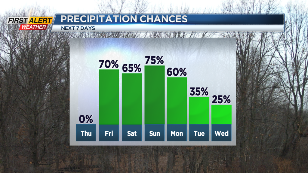
Thursday will likely be the nicest weather over the next 10 days. Look for plenty of sunshine and after a very cool start the mercury will rise into the upper 50s. Friday will start dry, but light showers will arrive by the afternoon. The high temperature will be in the upper 50s to near 60 degrees.
Unfortunately, showers are likely for Saturday morning with the rain tapering to sprinkles by the afternoon. The high temperature in the upper 50s. It should be mainly dry for Saturday night and early Sunday, but once again there will be an increasing chance of showers for Sunday afternoon. On the positive side, it should be mild to finish the weekend with the temperature rising into the lower 60s.
Stay tuned to News 10NBC First Alert weather for updates on the forecast.