FIRST ALERT WEATHER: Signs of winter trying to make a return
[anvplayer video=”5155930″ station=”998131″]
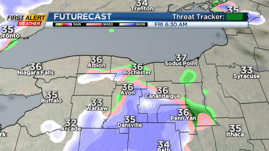
ROCHESTER, N.Y. A wave of low pressure passing overhead to end the week will bring a mix of rain and wet snow showers to start Friday.
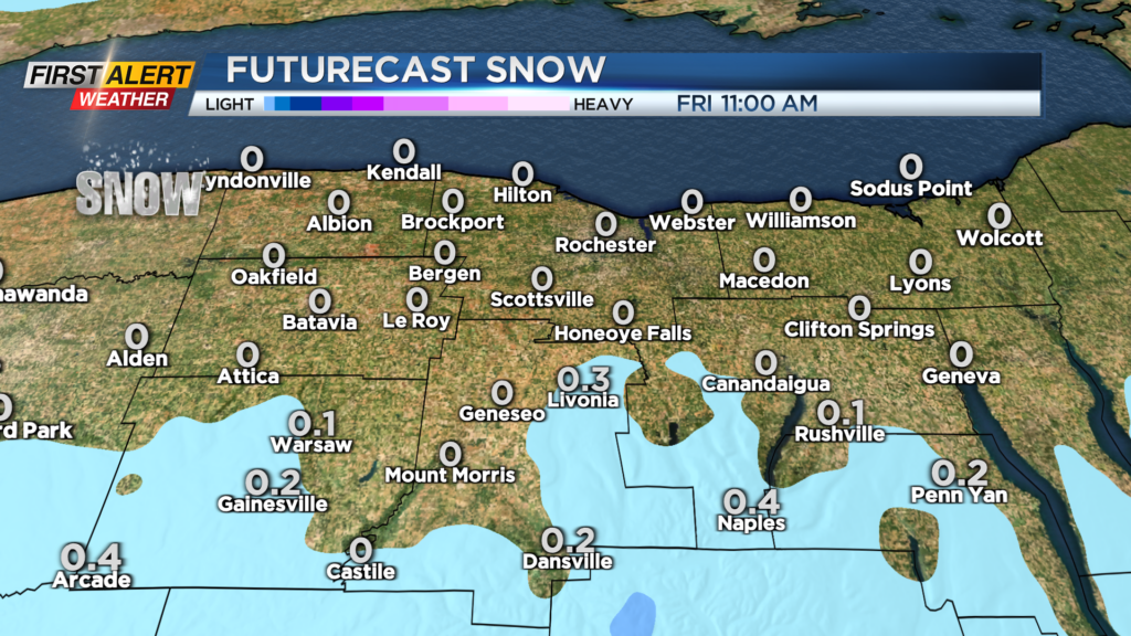
We don’t expect any accumulation from this initial round of precipitation, and most of this will taper by lunchtime. As cooler air begins to filter in, we’ll see a minor lake response from Lake Ontario. Some lake snow showers will develop Friday night into Saturday, with any accumulation being highly localized and very minor, with nothing more than an inch expected.
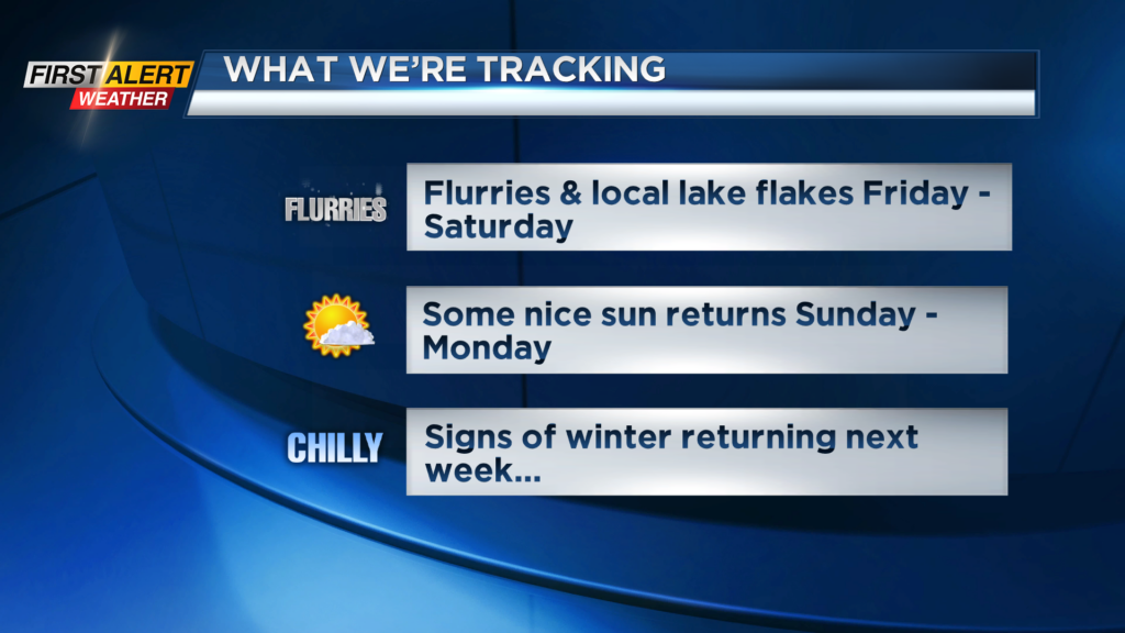
So, a select few will have a slight wintry look on Saturday. It’ll be brisk and cooler, with highs falling back into the 30s on Saturday. Sunday will be a nice looking early January day, with a mostly sunny sky. Monday remains dry with some sun before more clouds return on Tuesday.
A cold front will push through on Wednesday, bringing some scattered snow showers, and dropping daytime highs from the 30s into the 20s to end next week. Overall, we’re expecting a fairly quiet (although chillier) weather pattern, but we are keeping an eye on the potential for a coastal storm next weekend. The development and track of course will determine what, if anything, we get from this.