First Alert Weather: Slight shower chance Friday, then sun & warmth return
[anvplayer video=”5193788″ station=”998131″]
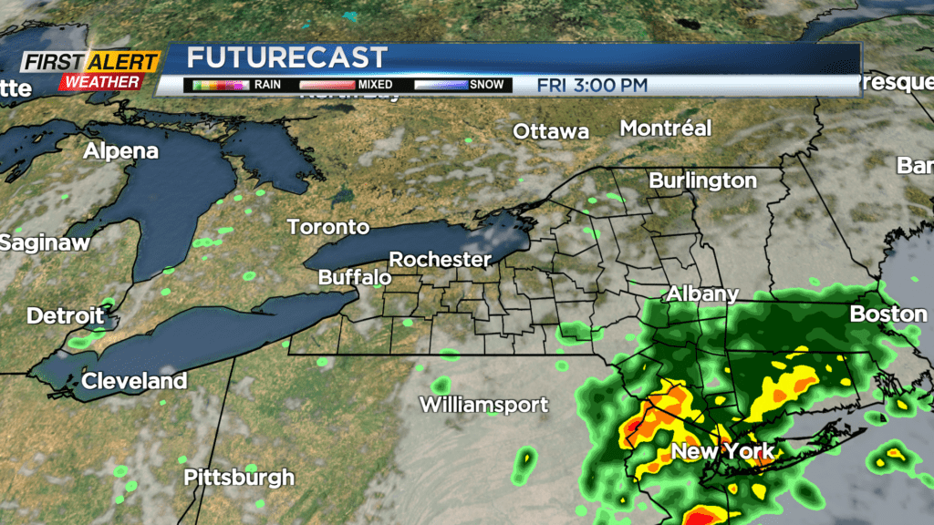
ROCHESTER, N.Y. — An area of low pressure shifting east, combined with a plume of Atlantic moisture will produce locally heavy and steady rain across eastern parts of New York State, but we’ll remain largely dry on Friday.
Our best chance of seeing a few showers will likely come in the morning south of Rochester, and possibly a few in the Finger Lakes later in the afternoon. Overall though, we’ll see another decent day with more clouds than recently. After that, we’ll have to wait another week to see any rain across the Rochester region. High pressure builds back in at the surface, and ridging builds across the Great Lakes and Northeast.
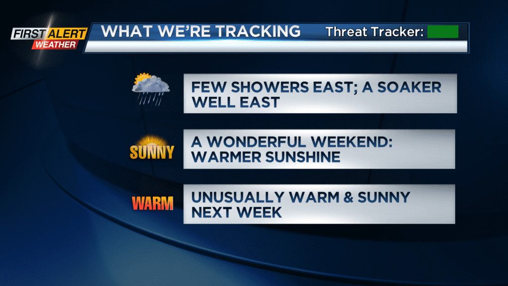
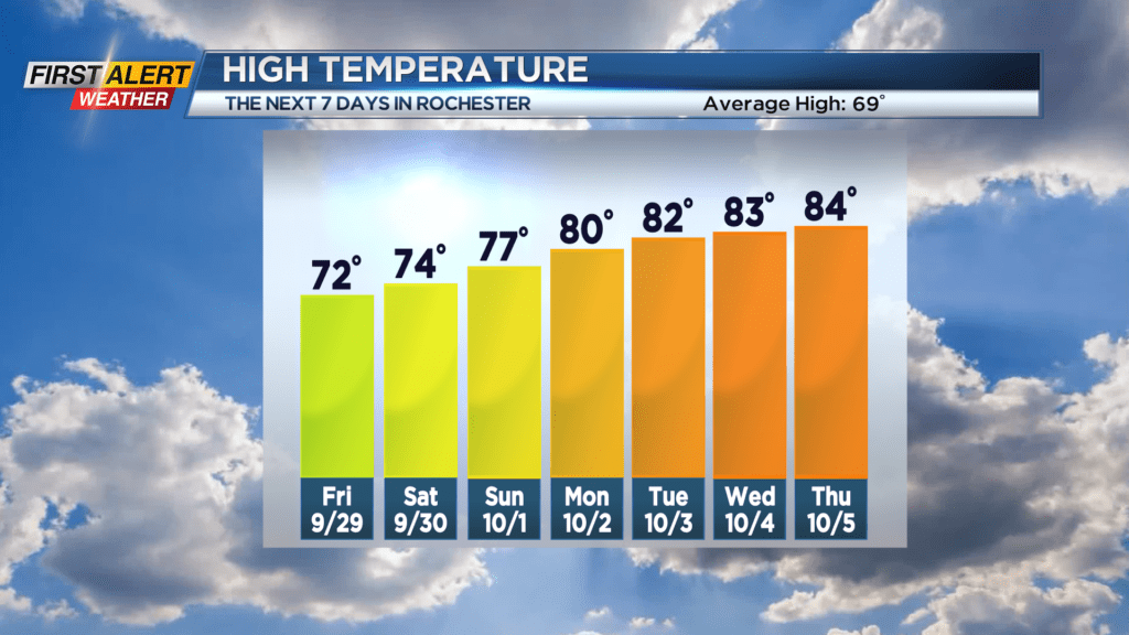
The combination of these two factors will bring us a lovely stretch of sunny, dry and warming weather. The weekend will feature highs in the mid and upper 70s, then we’re headed into the 80s for most of next week.
No record highs are expected at this time, but it is unusual to have more than a day or two in the 80s in October.
The warmth will likely peak on Thursday, with a strong cold front arriving on Friday. This will bring some showers back to the area, followed by much cooler air being driven in on a strong northwesterly wind next weekend. You know what they say – “what goes up, must come down!” And in this case, it’ll be our temperatures.