First Alert Weather: Some lake snow and cold air this weekend
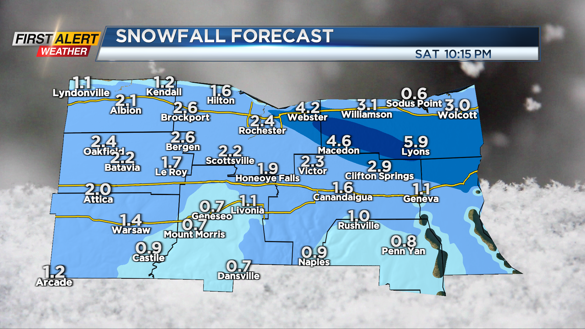
The area-wide snow from Friday is becoming much more localized overnight, as winds turn and lake effect becomes more organized. The snow will tend to focus east of Rochester, especially eastern Monroe and Wayne counties overnight and into early Saturday morning. This is where we’ll see several inches of additional lake fluff by morning.

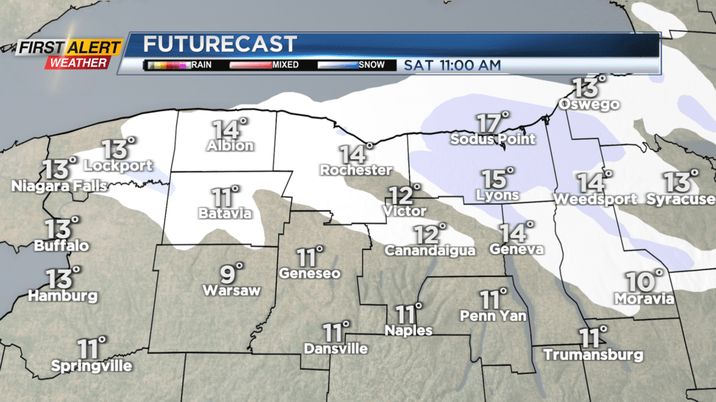
The lake snow will continue off and on Saturday, possibly picking up a bit more and becoming a little more widespread later in the day. Overall, accumulations will be light, with another inch or two for most on Saturday, and a few additional inches of lake fluff under heavier bands, again closer to Lake Ontario and east of Rochester. The bigger story for everybody will be the chill on Saturday. Highs will hold in the mid-teens, with wind chills near zero much of the day.
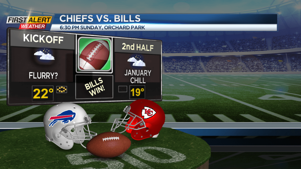
Any lingering flurries on Sunday morning will end, and we’ll see some sunshine returning later in the day. The Bills forecast is calm compared to what they’ve been seeing in Orchard Park as of late. Just chilly with temperatures in the upper teens and lower 20s. If you’re not a fan of the mid-winter weather, you’ll look forward temperatures back above freezing and into the 40s for much of next week, but that will also come with some rain at times.