First Alert Weather: Spring arrives with snow, wind and cold air
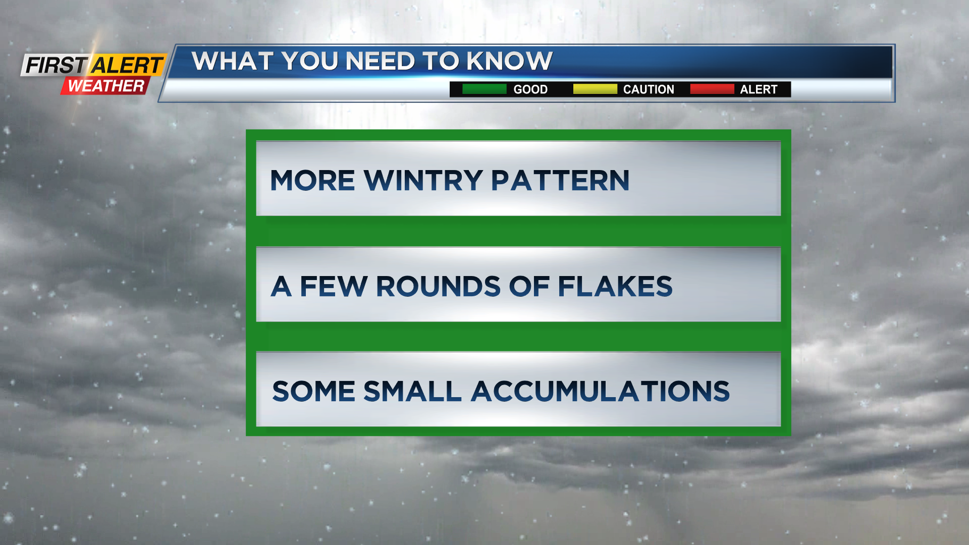
ROCHESTER, N.Y. – Spring officially arrives at 11:06 Tuesday night, but our weather won’t follow. Scattered snow showers continue into Wednesday morning, with a brief burst of moderate to heavier snow Wednesday late afternoon/evening as another cold front moves through. Winds will be busy on Wednesday, with gusts pushing 40 mph at times. Snow will have a hard time accumulating, thanks to the stronger March sun, so we don’t expect much of an impact on roads. That being said, visibility may drop within pockets of snow Wednesday into early Thursday. The snow on Thursday morning will be very localized, with some sun outside of any snow bands. Friday will also see some snow, but this is actually going to be a more widespread snow, as opposed to localized snow bands. If the steadiest snow falls Friday night, we may wake up Saturday morning to a few inches of fresh snow on the ground. But that should melt away pretty quickly during the day once the sun comes up.
Sunday will see some sun and dry weather, and we’ll see a nice warm up into the middle of next week, with temperatures in 40s and 50s.