First Alert Weather: Starting to look more wintry around Rochester
ROCHESTER, N.Y. — Buffalo has been buried by another round of lake effect off of Lake Erie, but so far the Rochester region has been spared.
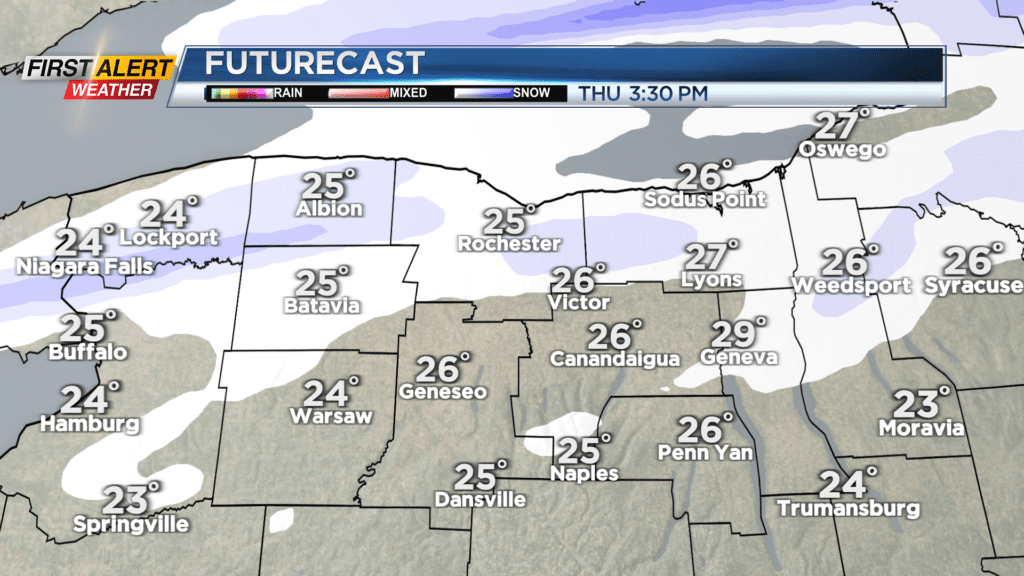
We’ll start to see our snow chances going up a little bit on Thursday, and even more by Friday and Saturday. The Lake Erie snow band will drop south again Wednesday night and into early Thursday, spraying our area with a little snow, but most will see less than one inch of accumulation. Thursday will see that snow band continuing to meander north and south, bringing another inch or so to parts of the area. Meanwhile the Buffalo area will continue to pick up heavier snow.
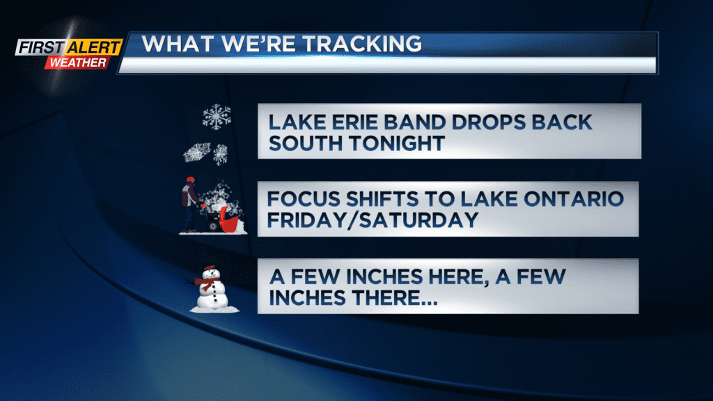

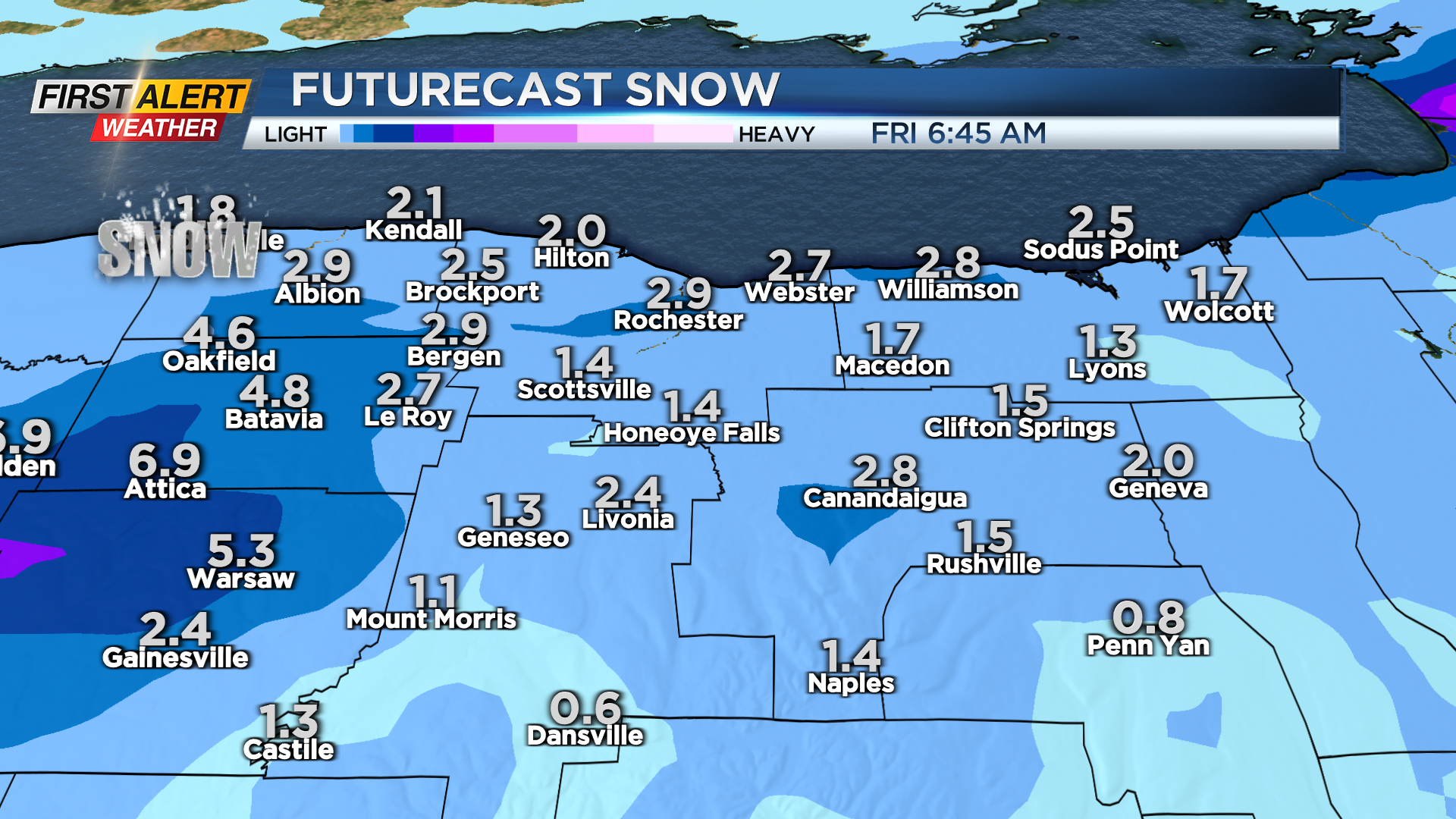
Rochester will see some accumulation starting on Friday, as an upper level disturbance brings a light area-wide snow to the region. We won’t see more than an inch or two area-wide, but we’ll start to see some impact from Lake Ontario as our wind shifts out of the northeast. This will bring some lake enhancement on top of the lighter area-wide snow for Orleans, Monroe and Wayne Counties. Then we continue with that light lake effect snow Friday night and into Saturday, tapering by Sunday morning. This snow will tend to be fairly light and fluffy.
Expect a few inches on Friday, a few inches Friday night, another few inches on Saturday. So snowfall each day should be minor, but by Sunday morning, parts of the area will have added a fair amount of snow to the ground. We may see some slick roads on Friday if some pockets of heavier snow develop with the help of lake enhancement. We’ll keep an eye on that potential, and highlight any specific times of issues on the roads with a Yellow Alert, if necessary.
If you aren’t a fan of the big chill, we see a big pattern change toward the middle to end of next week, with temperatures warming back into the 40s with some rain making a return.