First Alert Weather: Summer-like air to welcome in October
[anvplayer video=”5193930″ station=”998131″]
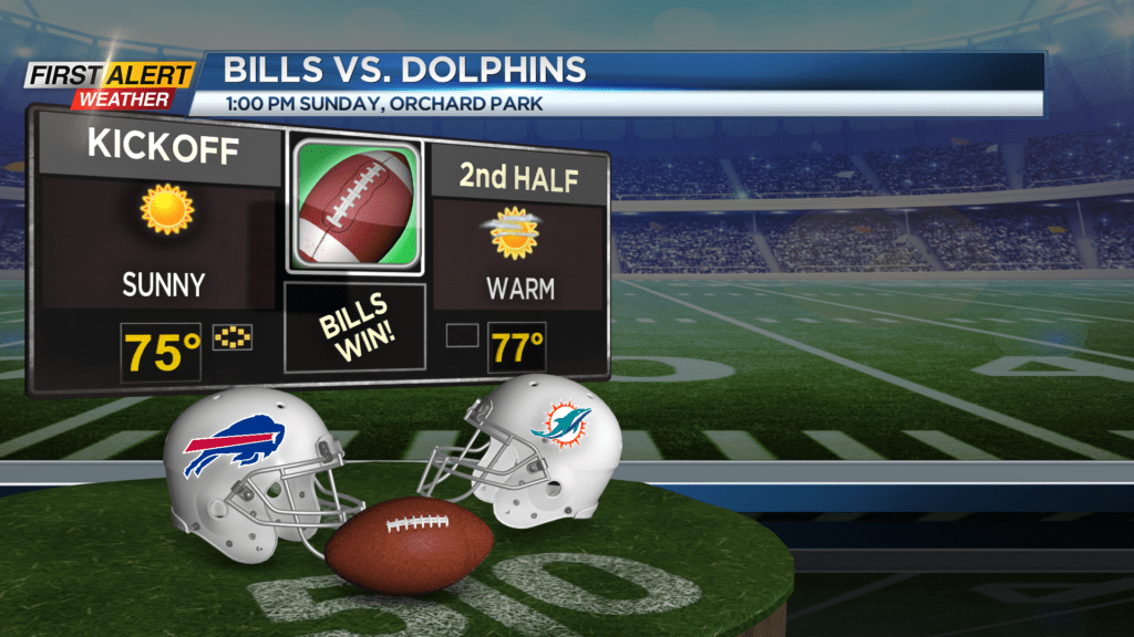
Fall has been here for about a week, but it won’t be feeling anything like it over the next week or so. High pressure planted overhead will combine with ridging aloft to pump in summer-like air through much of next week. Our weekend is looking lovely, with temperatures in the lower 70s on Saturday, and mid to upper 70s on Sunday under a mostly sunny sky both days. If you’re planning on heading to Orchard Park to watch the Bills take on the Dolphins, dress for summer! And don’t forget the sunglasses and sunscreen.
The ridge really starts to build in on Monday, which may initially bring in some extra clouds on Monday, but we’ll see abundant sunshine Tuesday and Wednesday, with temperatures warming into the upper 70s and lower 80s. Our warmest air should arrive on Wednesday, with mid 80s in the forecast. While we don’t have record warmth in the forecast, it is rare to have a stretch of 80s like this in October in western New York.
That pattern will end on Friday with a cold front bringing some showers or even thunder, followed by cooler and more seasonable air for Saturday, followed by a punch of much cooler air for Sunday and into the start of next week. In fact, it’ll likely be cold enough for some lake effect rain showers, and perhaps some patchy frost well south of Lake Ontario.