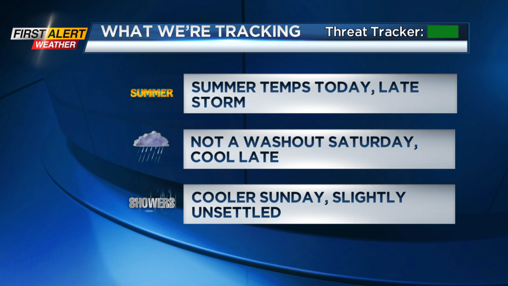
First Alert Weather: Summer today, but changes ahead this weekend
[anvplayer video=”5173587″ station=”998131″]
ROCHESTER, N.Y. — A great start to our Friday as temperatures are milder than the past few mornings, and we are seeing a mixture of sunshine and clouds.
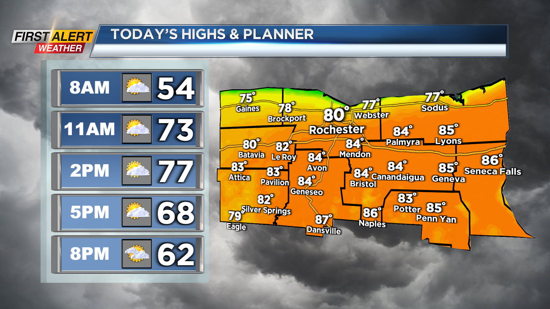
Temperatures on Friday morning are a little cooler along the lakeshore but generally in the mid and upper 40s across our region.
With the stubborn warm front from yesterday to our north now, we will see our afternoon highs soar. This afternoon, temperatures will reach the upper 70s and low 80s. We will also continue to deal with a mixture of sun and clouds, but we will remain dry through a majority of today.
There is the slight chance for a shower or storm late this evening, but most of us will be dry. Shower chances do increase after 9 p.m. so make sure you are prepared for any evening plans.
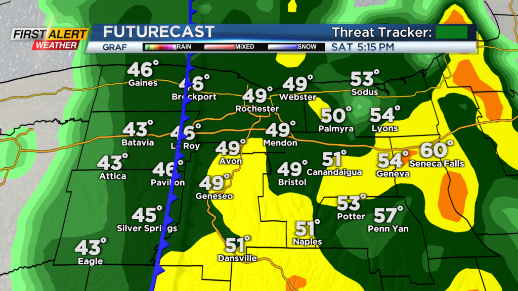
We will then dry out late Friday night and into Saturday morning before another round of rain rolls in for Saturday afternoon. It still looks like Saturday will not be a washout as rain chances increase after 2 p.m.
However, plans outside from around 2-8 p.m. will be tough as rain moves in. This is thanks to a cold front, and rain Saturday afternoon could be heavy at times. Also, this cold front will bring us a cool down.
Early Saturday we will be mild with temperatures reaching the 70s before rain arrives. Then when the rain rolls in, we will cool down into the 60s and 50s.
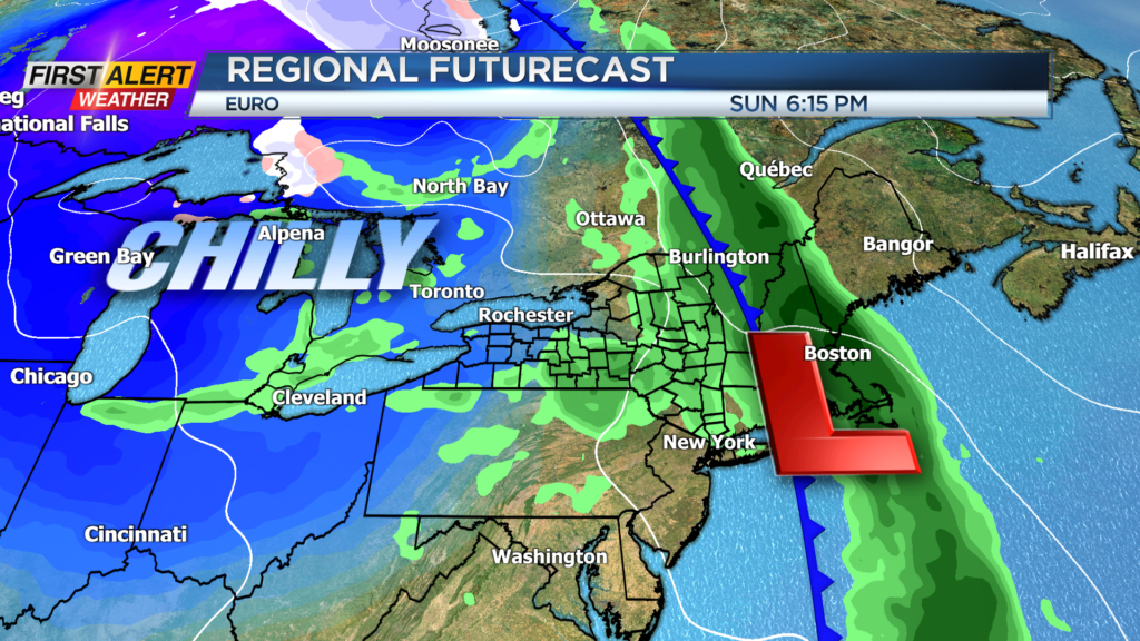
Behind the front we turn even cooler with temperatures dropping into the 40s for Saturday evening. That chilly and unsettled weather will linger into Sunday with afternoon highs only near 50. There will be the chance for a shower or two through the day Sunday, but it will not be a washout.
______________
Download the WHEC First Alert Weather app to stay up to date while on the go.
Watch the latest full forecast online.